Castle
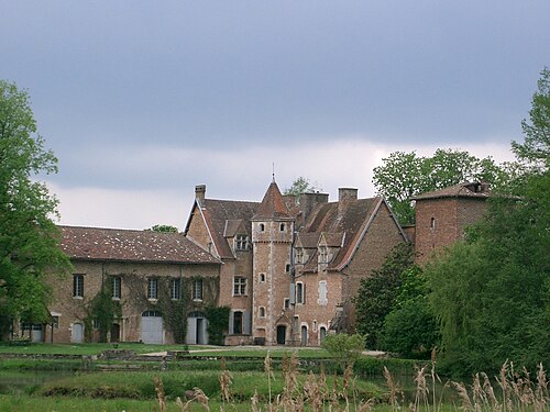
Château de Bouligneux
 France · 14th century
- Founded
- c. 1325
- Heritage status
- monument historique inscrit
- Location
- Bouligneux
- Coordinates
- 46.0242°, 4.99125°
- Open data
- Wikidata Q2968619
- Links
- Wikimedia Commons
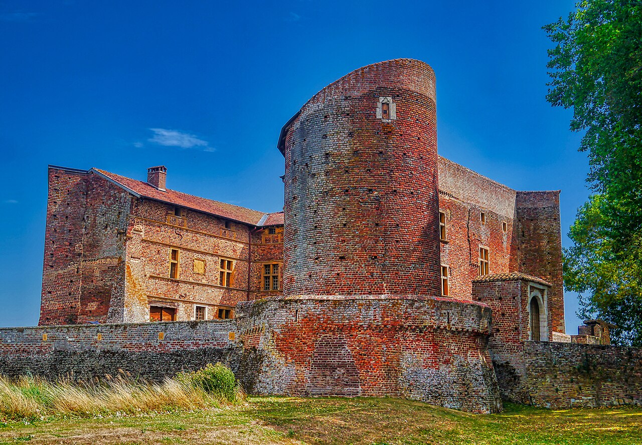
Description
The Château de Bouligneux is a former fortified house of the early 14th century, remodelled at the end of the 16th century or the beginning of the 17th century, centre of the lordship of Bouligneux and of a chief seat of a mandement of Bresse, which stands in the commune of Bouligneux in the department of Ain in the Auvergne-Rhône-Alpes region.
The château was registered as a historic monument by decree of 15 November 1926.
Machine-translated from “Château de Bouligneux” on the French Wikipedia, CC BY-SA 4.0.
In the rankings
Château de Bouligneux ranks #7,413 of 9,902 worldwide in the atlas's castle fame ranking, and #711 of the 954 mapped in France. Founded c. 1325, it is older than 59% of the atlas's dated landmarks, one of 797 atlas entries founded in the 14th century. Its Wikipedia articles were opened 879 times in the last 60 days, more than 51% of the atlas. 11 more atlas landmarks stand within 25 km. The nearest day-trip guide is Lyon, 31 km away. See how France compares in the castle statistics.
Castles nearby
- Château d'Ambérieux-en-Dombes7 km · France
- Château de Joyeux11 km · France
- Château de Châtillon-sur-Chalaronne11 km · France
- Château de Varax (Saint-Paul-de-Varax)14 km · France
More castles in France
- Château de VaugienFrance
- Château de ChalaisFrance
- Château de VogüéFrance · 12th century
- Château de la RivièreFrance · 19th century