Castle
Château d’Estaing
 France
- Heritage status
- classified historical monument
- Location
- Estaing
- Coordinates
- 44.5539°, 2.67279°
- Open data
- Wikidata Q2968230
- Links
- Wikimedia Commons
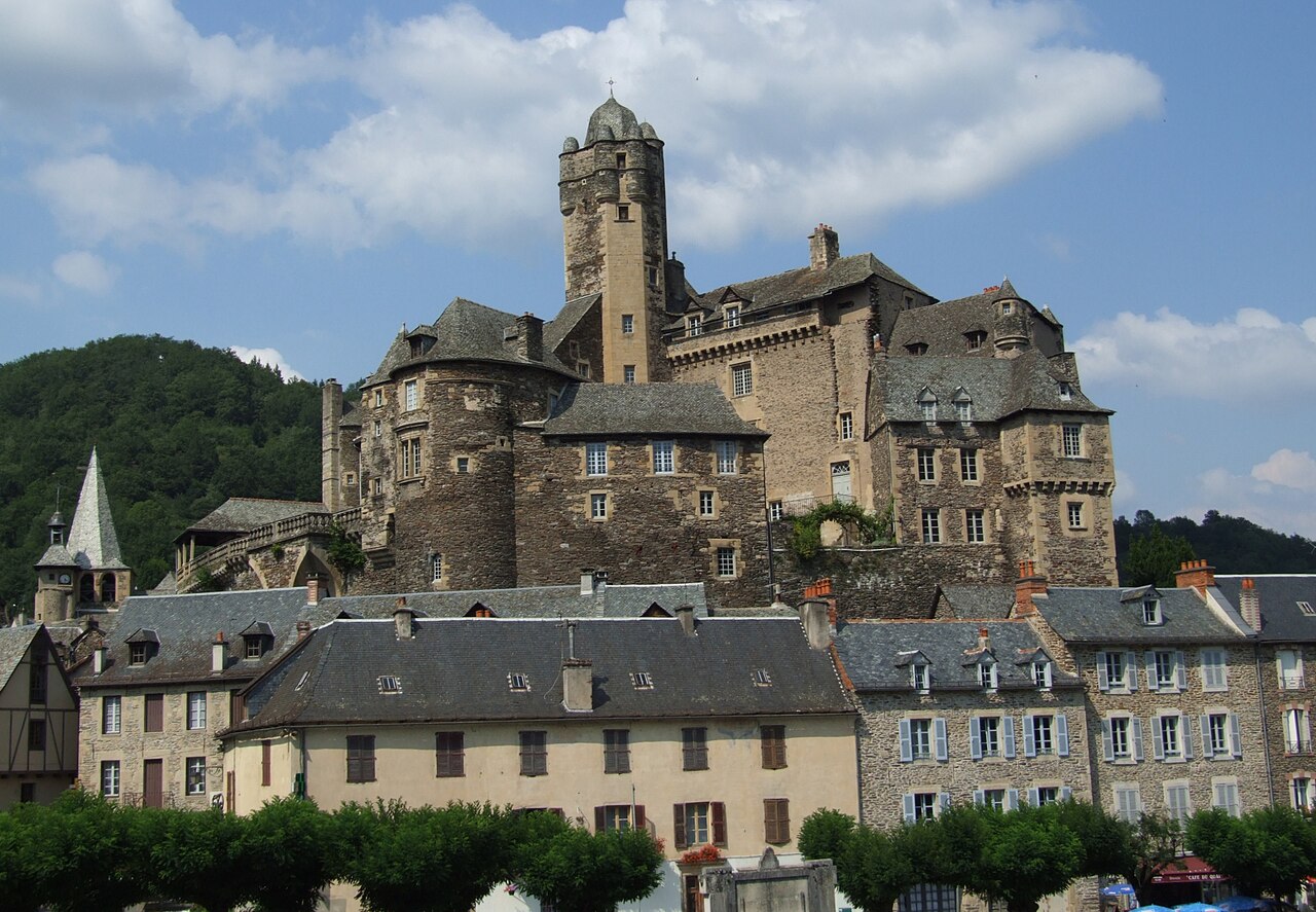
Description
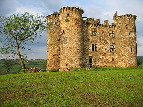
The Château d'Estaing is a residence of the 11th, 15th, 16th and 17th centuries located in the French commune of Estaing in the department of Aveyron, in the Occitanie region.
Former residence of the d'Estaing family, whose senior branch died out in 1794, the château is attested before the 12th century and was held of the counts of Rouergue.
In 2005, the château was bought by the former President of the Republic Valéry Giscard d'Estaing, his brother Olivier and their cousin Philippe.
The entrance pavilion, the château and the terraces were listed as historic monuments by decree of 6 January 1945.
Machine-translated from “Château d'Estaing” on the French Wikipedia, CC BY-SA 4.0.
In the rankings
Château d’Estaing ranks #5,118 of 9,902 worldwide in the atlas's castle fame ranking, and #427 of the 954 mapped in France. Its Wikipedia articles were opened 1,826 times in the last 60 days, more than 71% of the atlas. 2 more atlas landmarks stand within 25 km. See how France compares in the castle statistics.
Castles nearby
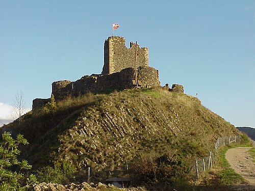
- Château de Calmont d'Olt7 km · France
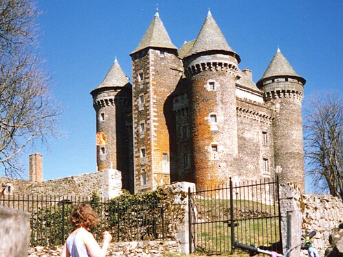
- Château du Bousquet, Laguiole16 km · France
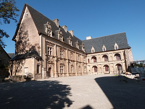
- Château de Bournazel31 km · France
- Château de Pagax32 km · France
More castles in France
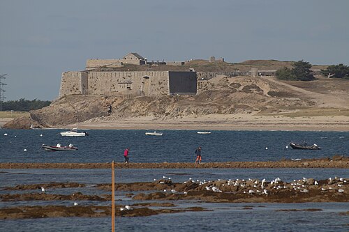
- Fort de PenthièvreFrance · 18th century
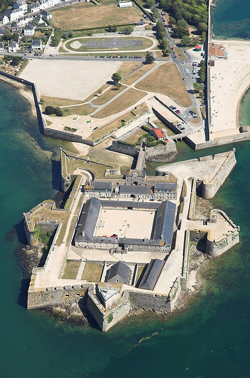
- Citadel of Port-LouisFrance · 16th century
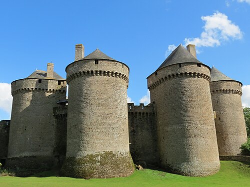
- Château de LassayFrance · 15th century
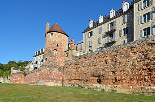
- Gallo-Roman walls of Le MansFrance · 3rd century