Fortress
Citadel of Port-Louis
 France · 16th century
- Founded
- c. 1550
- Architect
- Cristóbal de Rojas
- Heritage status
- monument historique inscrit · classified historical monument
- Location
- Port-Louis
- Coordinates
- 47.7105°, -3.3638°
- Open data
- Wikidata Q2974396
- Links
- Wikimedia Commons
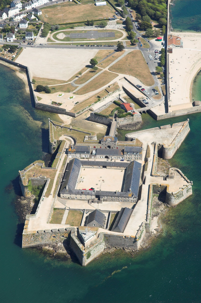
Description
The Citadel of Port-Louis is a citadel built in the 16th century by the Spaniards, then modified in the 17th century by the Frenchmen in Port-Louis (France).
Used by Spain as a base of operations during the Brittany Campaign from 1590 to 1598.
Text adapted from “Citadel of Port-Louis” on Wikipedia, CC BY-SA 4.0.
In the rankings
Citadel of Port-Louis ranks #5,600 of 9,902 worldwide in the atlas's castle fame ranking, and #476 of the 954 mapped in France. Founded c. 1550, it is older than 37% of the atlas's dated landmarks, one of 933 atlas entries founded in the 16th century. Its Wikipedia articles were opened 1,348 times in the last 60 days, more than 64% of the atlas. See how France compares in the castle statistics.
Castles nearby
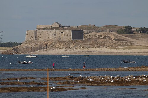
- Fort de Penthièvre25 km · France
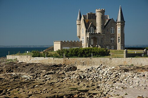
- Château Turpault32 km · France
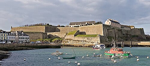
- Citadel of Belle-Île43 km · France
- Château de Keriolet45 km · France
More castles in France
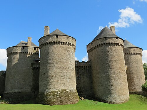
- Château de LassayFrance · 15th century
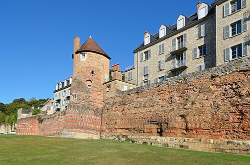
- Gallo-Roman walls of Le MansFrance · 3rd century
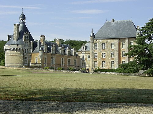
- Château de TouffouFrance · 12th century
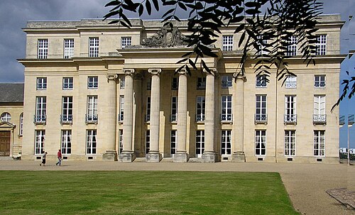
- Château de BénouvilleFrance · 18th century