Castle
Château de Balleure
 France · 14th century
- Founded
- 1340
- Heritage status
- monument historique inscrit
- Location
- Étrigny
- Coordinates
- 46.57833°, 4.80083°
- Open data
- Wikidata Q2968420
Description
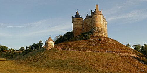
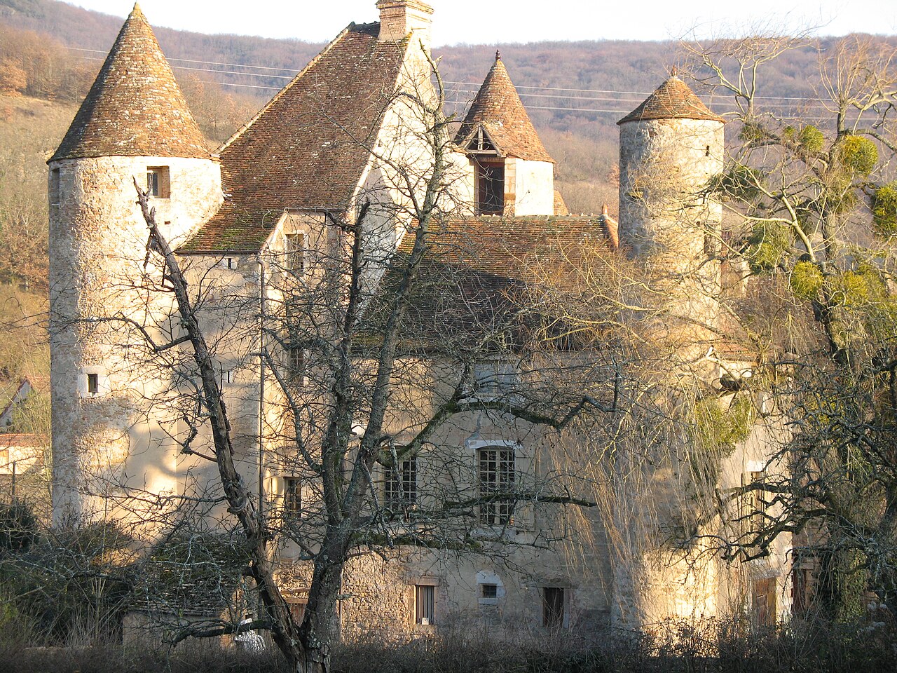
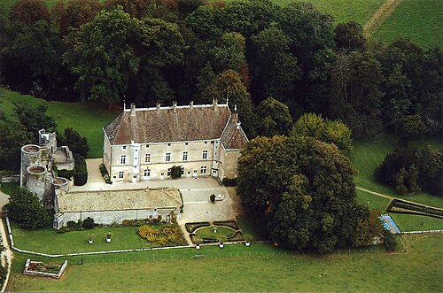
The Château de Balleure is a castle in the commune of Étrigny in the Saône-et-Loire département of France.
The castle has a rectangular plan confined by circular towers. To the east is a rectangular residential building; to the north a gatehouse tower, a large square tower and a second square tower of lesser dimensions; to the west a high residential building flanked by a staircase tower.
In the middle of the 13th century : the land belonged to the Sauvement family. In 1340, Henri de Sauvement obtained authorisation from the Duke of Burgundy to surround his house with walls and moats. In the 14th century, the castle passed into the possession of Rabutin d'Epiry and at the beginning of 15th century to the house of Saint-Julien. The historian, Pierre de Saint-Julien de Balleure, was born in the castle in 1519. In 1613, it passed to Charles de Naturel and stayed in his family until the French Revolution. In 1767, François-Emmanuel de Naturel undertook a partial restoration. During the 19th century, the property was shared among several owners.
The castle is private property and not open to visitors. It was added to the supplementary inventory of monuments historiques by the French Ministry of Culture in December 1941.
Text adapted from “Château de Balleure” on Wikipedia, CC BY-SA 4.0.
In the rankings
Château de Balleure ranks #7,851 of 9,040 worldwide in the atlas's castle fame ranking, and #745 of the 787 mapped in France. Founded 1340, it is older than 58% of the atlas's dated landmarks, one of 758 atlas entries founded in the 14th century. 3 more atlas landmarks stand within 25 km. The nearest day-trip guide is Lyon, 90 km away. See how France compares in the castle statistics.
Castles nearby
- Château de Nobles4 km · France
- Château de Sigy-le-Châtel18 km · France
- Château de Berzé-le-Châtel23 km · France
- Château de Germolles26 km · France
More castles in France
- Château de BannesFrance
- Château de BayacFrance · 14th century
- Château de BeaucaireFrance
- Château de BenaugeFrance