Ruin
Château de Sigy-le-Châtel
 France
- Location
- Sigy-le-Châtel
- Coordinates
- 46.55611°, 4.57333°
- Open data
- Wikidata Q2970696
- Links
- Wikimedia Commons

Description
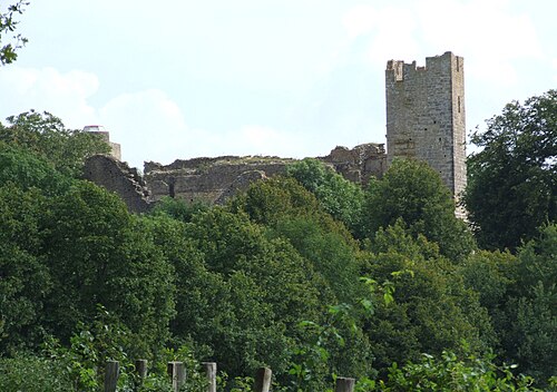
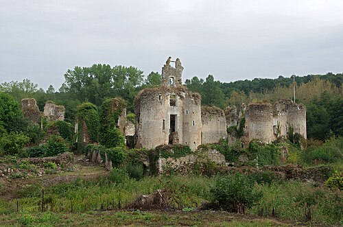
The Château de Sigy-le-Châtel is a ruined castle in the commune of Sigy-le-Châtel in the Saône-et-Loire département of France.
The castle was built on a rocky outcrop dominating a pass.
It is one of the oldest castles in Mâconnais. It consisted of a large irregularly shaped enceinte made of thick curtain walls. The entrance, to the north towards the plateau, was flanked by two fortified semicircular towers.
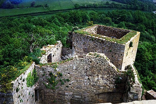
The only remains are some stretches of wall, the bases of two large circular towers pierced by cannon positions and, at the western end, the corner of a brick building with a bartizan. The castle is privately owned and not open to the public.
Text adapted from “Château de Sigy-le-Châtel” on Wikipedia, CC BY-SA 4.0.
In the rankings
Château de Sigy-le-Châtel ranks #5,320 of 9,902 worldwide in the atlas's castle fame ranking, and #447 of the 954 mapped in France. Its Wikipedia articles were opened 2,638 times in the last 60 days, more than 79% of the atlas. 7 more atlas landmarks stand within 25 km. The nearest day-trip guide is Lyon, 90 km away. See how France compares in the castle statistics.
Castles nearby
- Château de Gros-Chigy6 km · France
- Château de Cormatin9 km · France
- Château de Nobles16 km · France
- Château de Brancion17 km · France
More castles in France
- Château de StorsFrance · 18th century
- Château de Sucy-en-BrieFrance · 17th century
- Château de ThilFrance
- Château de VaujoursFrance