 France · 13th century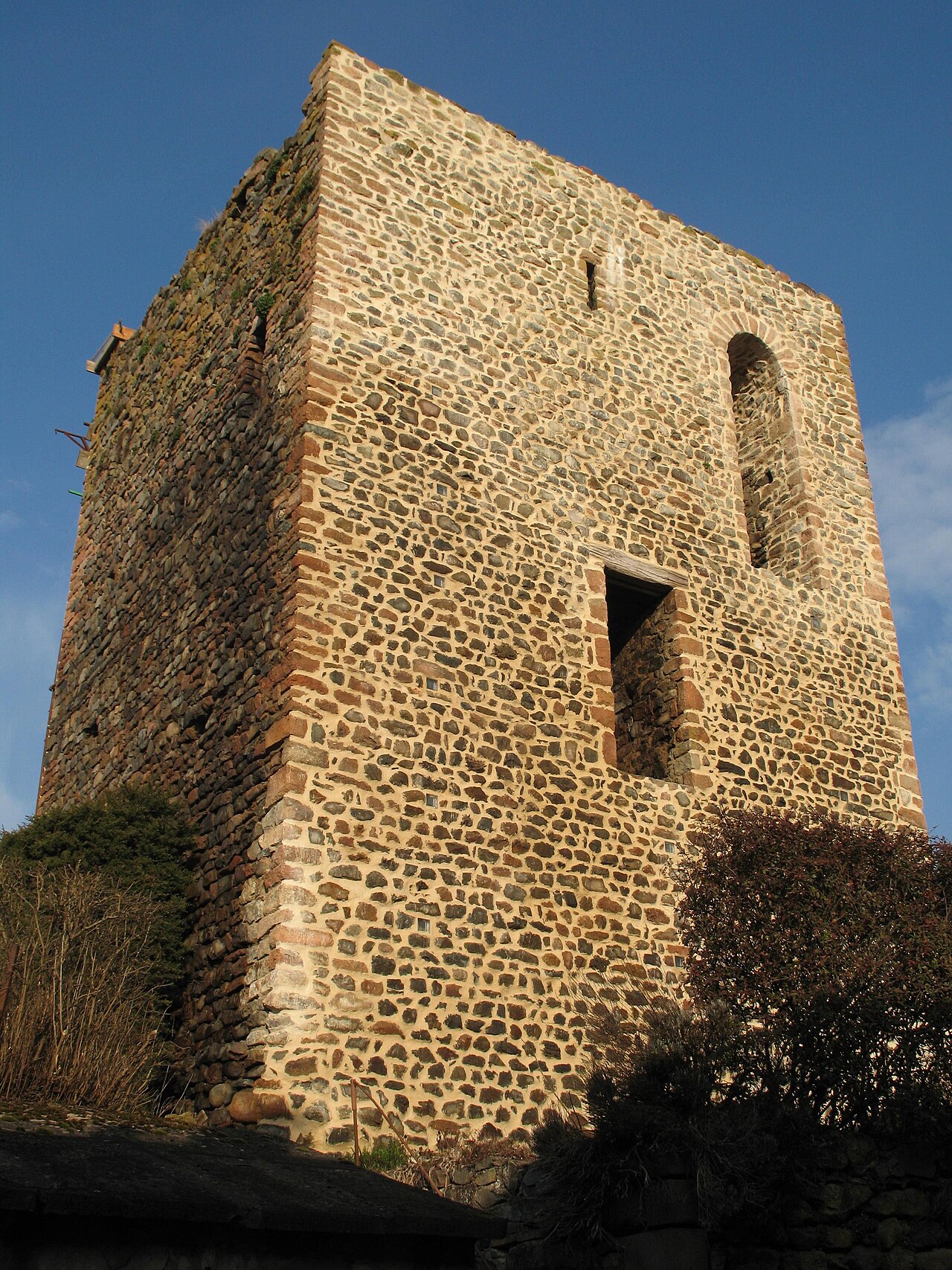
The Château de Chamelet is a former 13th-century fortress whose remains stand in the commune of Chamelet, in the Rhône department, in the Auvergne-Rhône-Alpes region. Like Oingt or Ternand, Chamelet in the Middle Ages amounted to a fortified castle protecting the dwellings that had taken refuge behind its ramparts.
Machine-translated from “Château de Chamelet” on the French Wikipedia, CC BY-SA 4.0.
Château de Chamelet ranks #8,933 of 9,079 worldwide in the atlas's castle fame ranking, and #792 of the 793 mapped in France. Founded c. 1250, it is older than 67% of the atlas's dated landmarks, one of 1080 atlas entries founded in the 13th century. 16 more atlas landmarks stand within 25 km. The nearest day-trip guide is Lyon, 35 km away. See how France compares in the castle statistics.
View on the interactive castle map →