Ruin
Château de Hohenack
 France · 12th century
- Founded
- c. 1200
- Heritage status
- classified historical monument
- Location
- Labaroche
- Coordinates
- 48.09417°, 7.18417°
- Open data
- Wikidata Q5118781
- Links
- Wikimedia Commons
Description
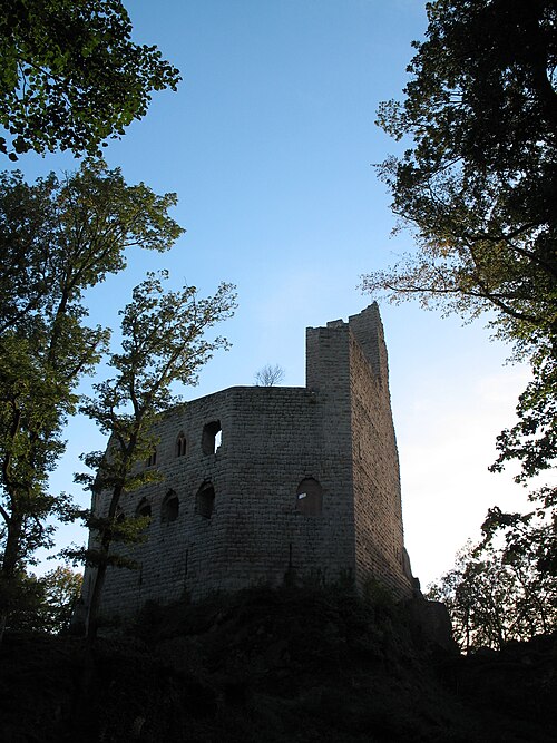
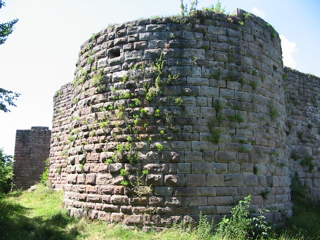
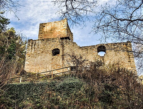
The Château de Hohenack (also described as Château du Hohenack and Château féodal du Petit Hohnack) is a ruined castle in the commune of Labaroche in the Haut-Rhin département of France.
Significant building periods were the last quarter of the 12th century, the 13th, 15th and 16th centuries. In plan view, the edifice is typical of the 12th century, constituting a polygonal curtain wall and a square keep. The castle served both military and administrative functions before being destroyed in 1655 on the orders of the King of France. During the French Revolution, the ruin was sold as national property and, until 1898, it was treated as a quarry. The castle has suffered war damage. The property of the state, it has been listed since 1905 as a monument historique by the French Ministry of Culture.
Text adapted from “Château de Hohenack” on Wikipedia, CC BY-SA 4.0.
In the rankings
Château de Hohenack ranks #8,157 of 9,902 worldwide in the atlas's castle fame ranking, and #827 of the 954 mapped in France. Founded c. 1200, it is older than 75% of the atlas's dated landmarks, one of 810 atlas entries founded in the 12th century. 15 more atlas landmarks stand within 25 km. The nearest day-trip guide is Colmar, 13 km away. It is one of the 63 landmarks on the atlas's regional map of Alsace. See how France compares in the castle statistics.
Castles nearby
- Château de Pflixbourg6 km · France
- Château du Hohlandsbourg7 km · France
- Château de Kaysersberg8 km · France
- Château de Hagueneck8 km · France
More castles in France
- Château de BrosseFrance · 10th century
- Château de SpesbourgFrance · 13th century
- Château de PieusseFrance · 12th century
- Château de PosangesFrance · 15th century