Palace
Château de La Ferté-Imbault
 France
- Heritage status
- monument historique inscrit
- Location
- La Ferté-Imbault
- Coordinates
- 47.38773°, 1.95744°
- Open data
- Wikidata Q22943186
- Links
- Wikimedia Commons
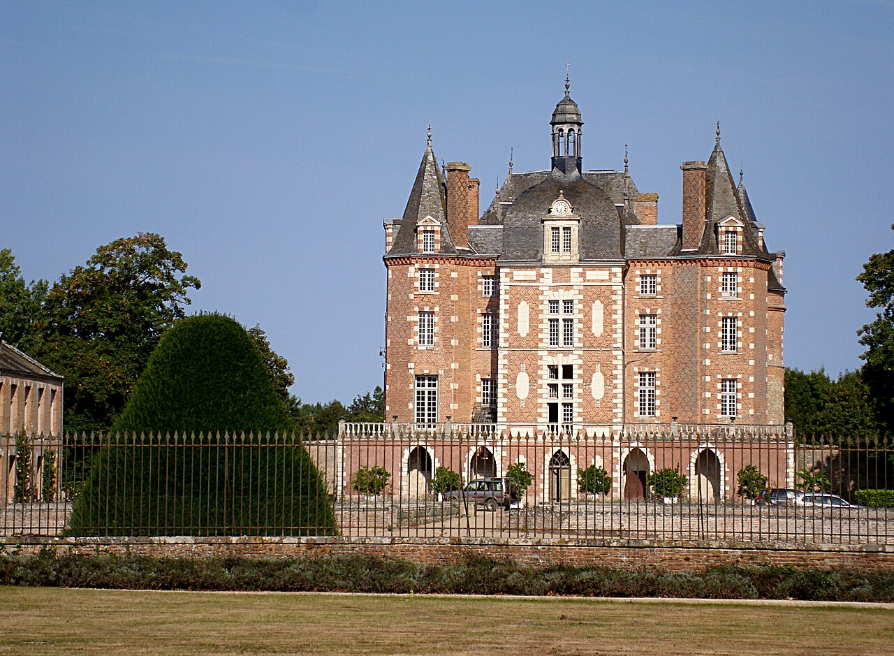
Description
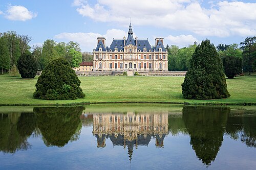
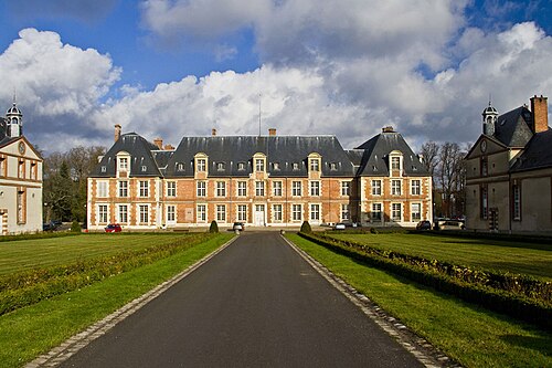
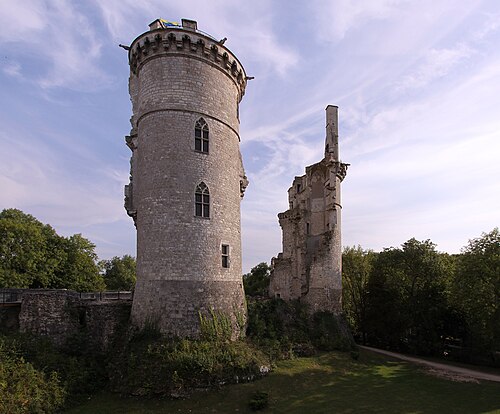
The Château de La Ferté-Imbault (Loir-et-Cher) is a stately home in the Loire Valley, France. A fortress of the Middle Ages rebuilt during the Renaissance, it is the largest brick château in Sologne, and one of the oldest. It was the family seat of the House of Estampes for four centuries.
The seigneurie (lordship) of La Ferté-Imbault was the largest in the south of Sologne, whose lands included the parishes of Salbris, Saint-Genou (now Selles-Saint-Denis), Marcilly, Loreux and Souesmes. It comprised more than one hundred farms spread over tens of thousands of hectares, stretching from Loreux to Souesmes and from Saint-Viâtre to Theillay.
The château is a large "rectangular building, with large and fine windows, and flanked by four towers [...]; shrubberies and alleys of mature trees lend an air of grandeur and poetry that strikes both the heart and the imagination". Its position "is quite pleasant and joyful, in a place where the Sauldre divides into several channels ... The red turrets of the château rise amid these waters and this greenery, and crown marvellously the rich picture".
Text adapted from “Château de La Ferté-Imbault” on Wikipedia, CC BY-SA 4.0.
In the rankings
Château de La Ferté-Imbault ranks #6,809 of 9,902 worldwide in the atlas's castle fame ranking, and #622 of the 954 mapped in France. The nearest day-trip guide is Blois, 53 km away. It is one of the 87 landmarks on the atlas's regional map of the Loire Valley. See how France compares in the castle statistics.
Castles nearby
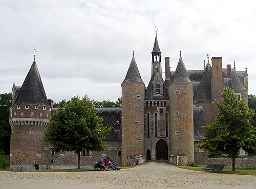
- Château du Moulin26 km · France
- Château de la Borde31 km · France
- Château de Selles-sur-Cher33 km · France
- Château de Mehun-sur-Yèvre34 km · France
More castles in France
- Château de BaronvilleFrance · 13th century
- Château MennechetFrance · 19th century
- Heurt FortFrance · 19th century
- Château de GrignonFrance · 17th century