Ruin
Château de Brancion
 France · 12th century
- Founded
- c. 1150
- Heritage status
- classified historical monument
- Location
- Martailly-lès-Brancion
- Coordinates
- 46.54691°, 4.79786°
- Open data
- Wikidata Q897692
- Links
- Wikimedia Commons
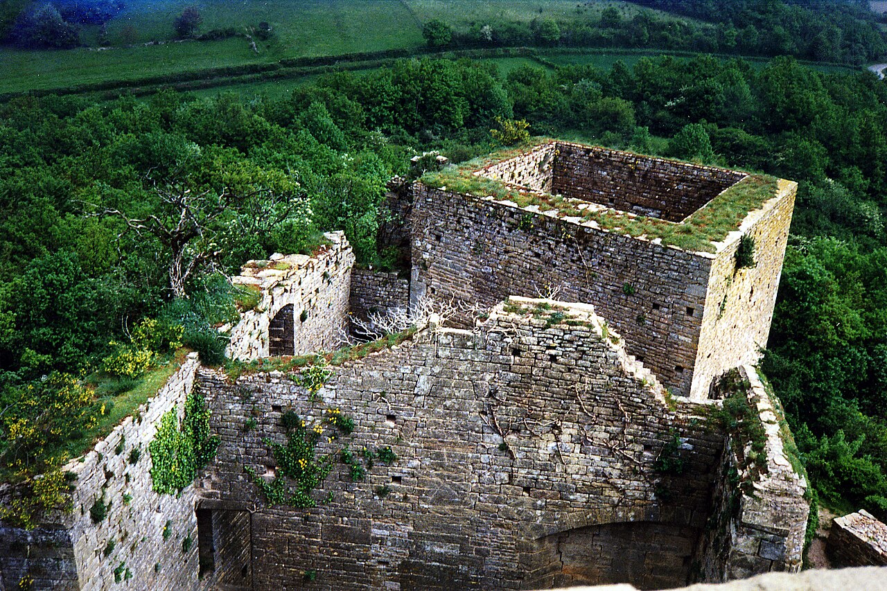
Description
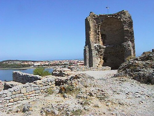
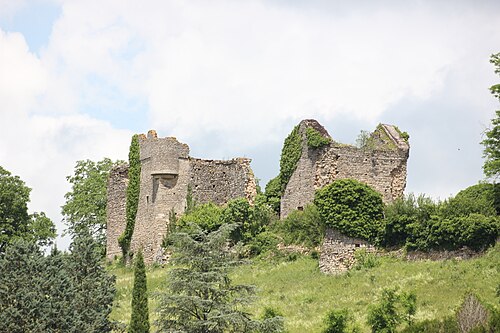
The Château de Brancion is a former fortified castle of the 12th century, whose remains stand in the territory of the commune of Martailly-lès-Brancion, in the department of Saône-et-Loire, in the Bourgogne-Franche-Comté region.
It is one of the fourteen exceptional places open to the public that have been brought together for some twenty years within "La Route des châteaux en Bourgogne du Sud".
Machine-translated from “Château de Brancion” on the French Wikipedia, CC BY-SA 4.0.
In the rankings
Château de Brancion ranks #6,793 of 9,902 worldwide in the atlas's castle fame ranking, and #619 of the 954 mapped in France. Founded c. 1150, it is older than 80% of the atlas's dated landmarks, one of 810 atlas entries founded in the 12th century. 7 more atlas landmarks stand within 25 km. The nearest day-trip guide is Lyon, 87 km away. See how France compares in the castle statistics.
Castles nearby
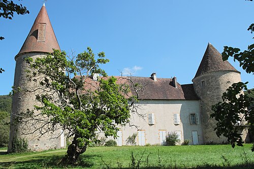
- Château de Nobles1 km · France
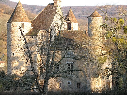
- Château de Balleure4 km · France
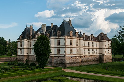
- Château de Cormatin9 km · France
- Château de Sigy-le-Châtel17 km · France
More castles in France
- Tour BarberousseFrance · 10th century
- Château de MalesherbesFrance
- Château de MontmuranFrance · 12th century
- Château de FayracFrance