Ruin
Château de Taillebourg
 France
- Heritage status
- monument historique inscrit · classified historical monument
- Location
- Taillebourg
- Coordinates
- 45.83389°, -0.6475°
- Open data
- Wikidata Q2729031
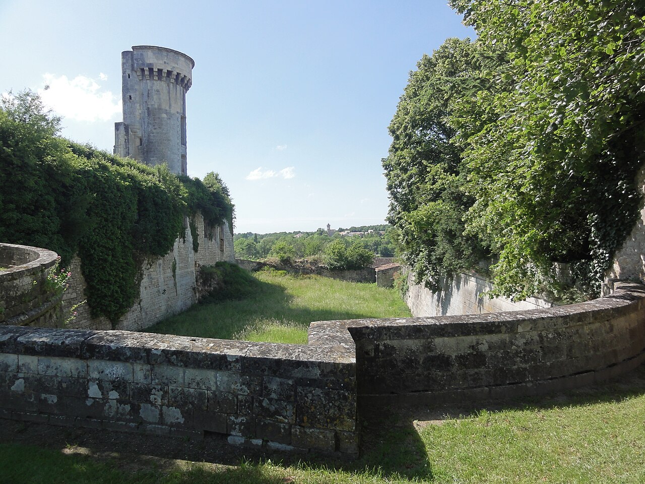
Description
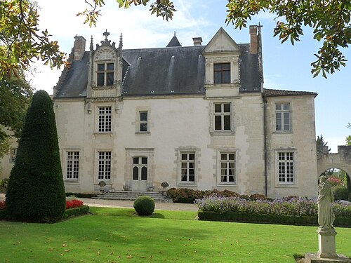
The Château de Taillebourg is a ruined castle from the medieval era. It is built on a rocky outcrop, overlooking the village of Taillebourg and the valley of the river Charente, in the Charente-Maritime department of France. It commanded a very strategic position and was therefore the focus of much conflict throughout the medieval era.
It featured in several episodes of the Hundred Years' War and the Saintonge War before that.
Text adapted from “Château de Taillebourg” on Wikipedia, CC BY-SA 4.0.
In the rankings
Château de Taillebourg ranks #5,339 of 9,040 worldwide in the atlas's castle fame ranking, and #473 of the 787 mapped in France. Its Wikipedia articles were opened 1,171 times in the last 60 days, more than 55% of the atlas. 1 more atlas landmarks stand within 25 km. See how France compares in the castle statistics.
Castles nearby
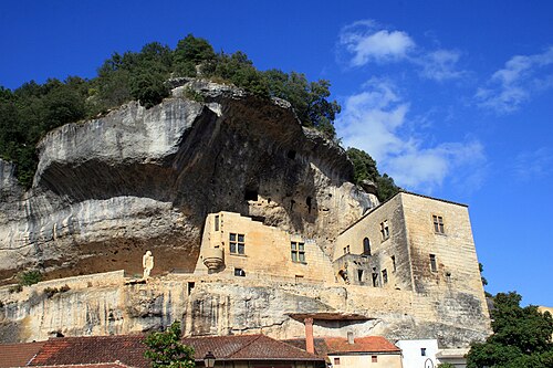
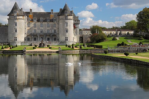
- Château de la Roche Courbon10 km · France
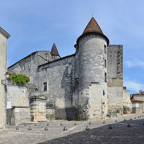
- Castle of Cognac29 km · France
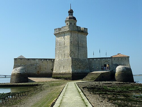
- Fort Louvois41 km · France
- Château de Beaulon45 km · France
More castles in France
- Château de TayacFrance · 13th century
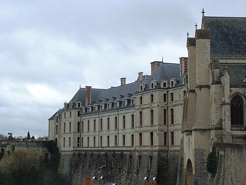
- Château de ThouarsFrance · 17th century
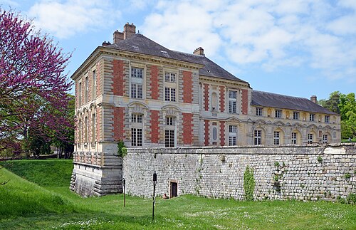
- Château de ValleryFrance · 16th century
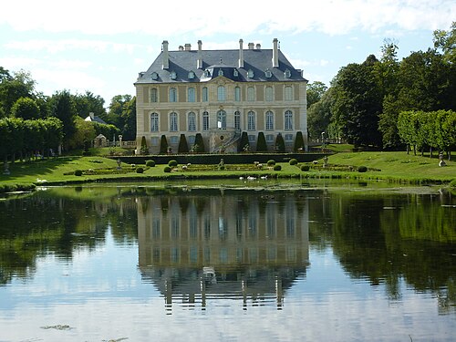
- Château de VendeuvreFrance