 France · 17th century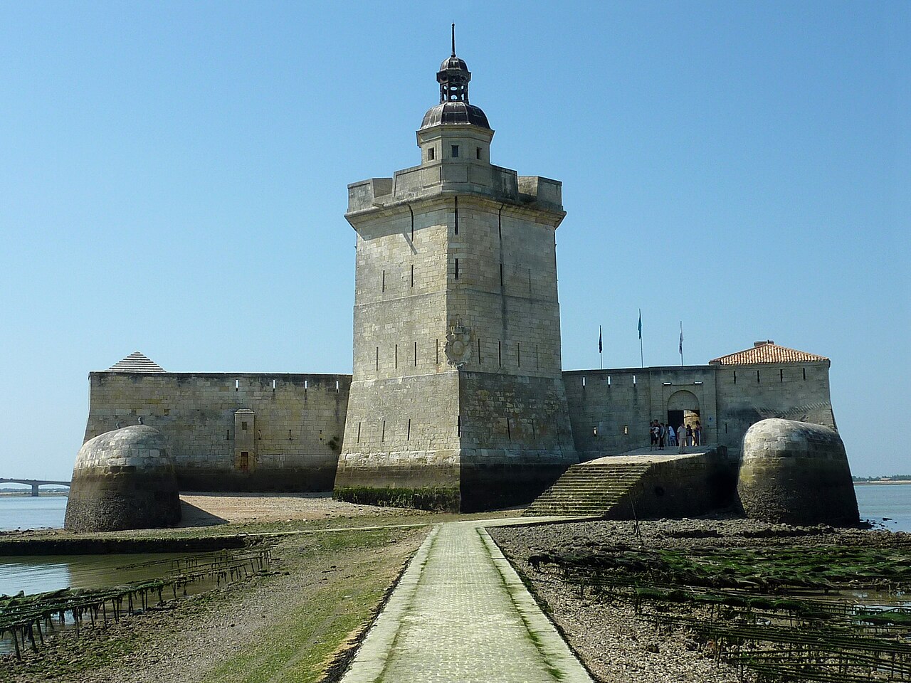
Fort Louvois, which is known locally as Fort Chapus or Fort du Chapus, is a fortification built between 1691 and 1694, during the reign of Louis XIV, on the Chapus islet, and is about 400 metres (1,300 ft) offshore in the town of Bourcefranc-le-Chapus in the department of Charente-Maritime, France. The fort sits opposite the citadel of Château d'Oléron on the island of Oléron. The fort was positioned so that a crossfire from the château and the fort would control the Pertuis de Maumusson (Passage of Maumusson) and impede access to the Rochefort roads from the south. Fort Louvois only saw action towards the end of World War II when bombardment greatly damaged the fort, necessitating later restoration.
Since 1972 the fort has been the site of a museum of oyster farming, and there are oyster beds next to the causeway that joins the fort to the shore. The fort also houses a permanent exhibition that describes the history of the fort and that contains models of fortifications on the Charente coast. During the summer a shuttle boat that operates during high tide takes visitors to the fort; at low tide the fort is accessible via a causeway.
Text adapted from “Fort Louvois” on Wikipedia, CC BY-SA 4.0.
Fort Louvois ranks #3,575 of 9,035 worldwide in the atlas's castle fame ranking, and #274 of the 787 mapped in France. Founded 1691, it is older than 22% of the atlas's dated landmarks, one of 708 atlas entries founded in the 17th century. Its Wikipedia articles were opened 1,555 times in the last 60 days, more than 63% of the atlas. 1 more atlas landmarks stand within 25 km. See how France compares in the castle statistics.
View on the interactive castle map →