Ruin
Château du Grand Ringelstein
 France · 12th century
- Founded
- 1125
- Heritage status
- classified historical monument
- Location
- Oberhaslach
- Coordinates
- 48.56306°, 7.32111°
- Open data
- Wikidata Q2971698
- Links
- OpenStreetMap · Wikimedia Commons
Description
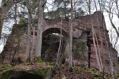
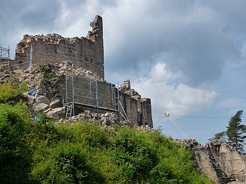
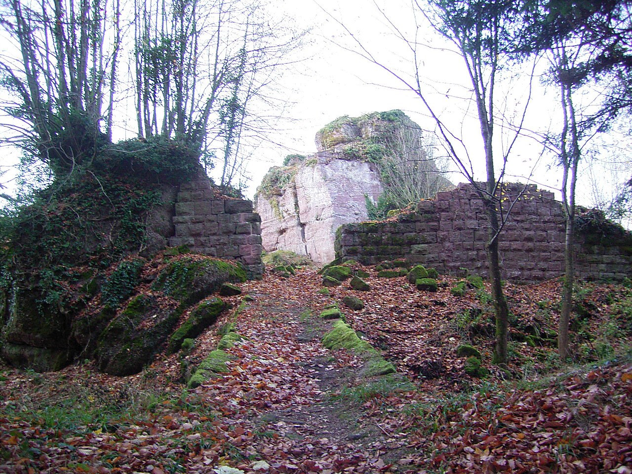
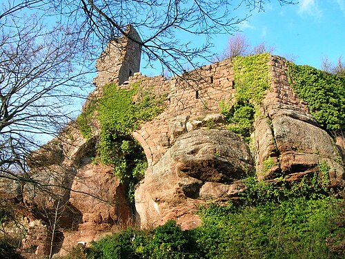
The Château du Grand Ringelstein (or Château Ringelsbourg) is a ruined castle in the commune of Oberhaslach in the Bas-Rhin département of France.
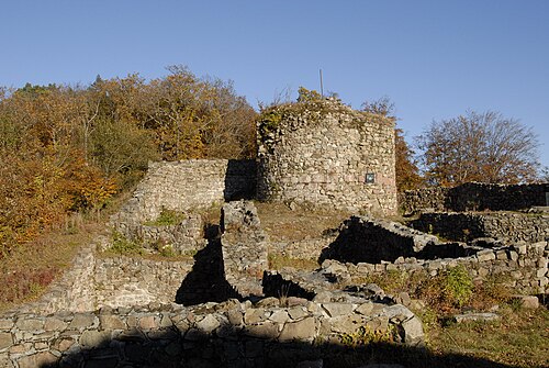
Dating from the beginning of the 13th century, it is built around several sandstone rocks at an altitude of 644 m. At the summit of the rocks there are only meagre remains of buildings, including the remnants of a pentagonal keep in the north, the most accessible part of the site. By contrast, the polygonal enceinte that surrounds the group of rocks is still well-preserved, particularly on the south west side, where one can see several small fully arched openings.
Owned by the Eguisheims, the site was recorded in the middle of the 12th century. After the extinction of the family, it passed to the Bishop of Strasbourg. A haunt of brigand knights, it was destroyed in 1470.
It has been listed since 1898 as a monument historique by the French Ministry of Culture and is state-owned.
Text adapted from “Château du Grand Ringelstein” on Wikipedia, CC BY-SA 4.0.
In the rankings
Château du Grand Ringelstein ranks #8,504 of 9,902 worldwide in the atlas's castle fame ranking, and #878 of the 954 mapped in France. Founded 1125, it is older than 84% of the atlas's dated landmarks, one of 810 atlas entries founded in the 12th century. 19 more atlas landmarks stand within 25 km. The nearest day-trip guide is Strasbourg, 32 km away. It is one of the 63 landmarks on the atlas's regional map of Alsace. See how France compares in the castle statistics.
Castles nearby
- Château de Hohenstein1 km · France
- Château du Nideck3 km · France
- Château de Wangenbourg6 km · France
- Château de Guirbaden9 km · France
More castles in France
- Château du HagelschlossFrance · 13th century
- Château de KagenfelsFrance · 12th century
- Fort du HâFrance · 15th century
- Château de RougemontFrance · 12th century