Ruin
Château Rocher
 France
- Heritage status
- classified historical monument · monument selected by the mission to identify immovable heritage in danger (2018)
- Location
- Saint-Rémy-de-Blot
- Coordinates
- 46.08916°, 2.9282°
- Open data
- Wikidata Q202249
- Links
- Wikimedia Commons
Description
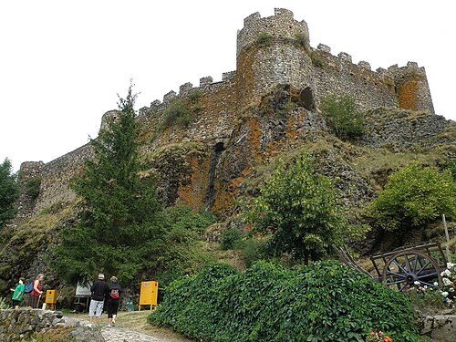
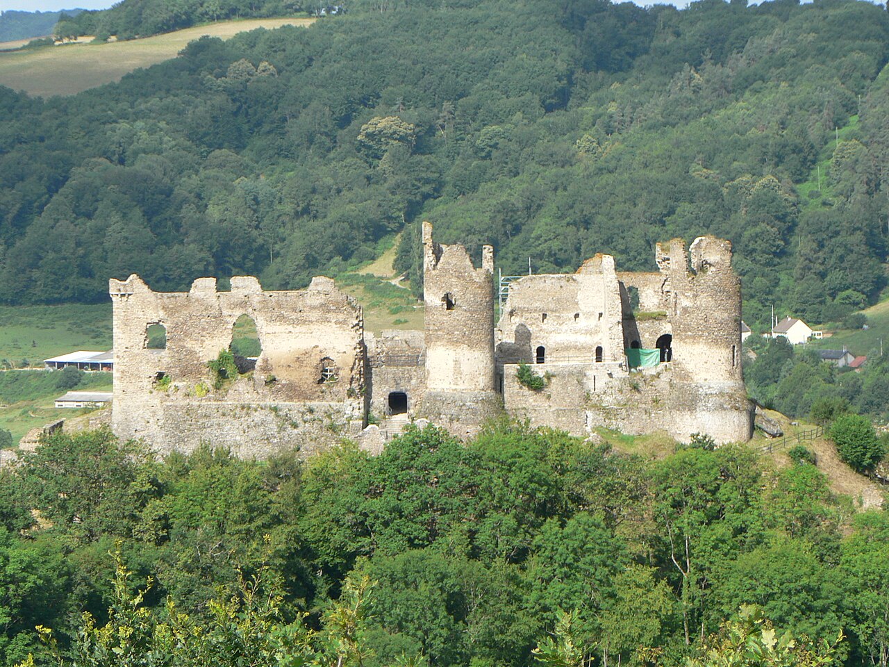
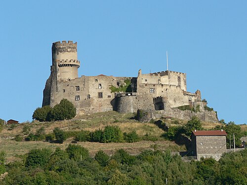
The Château Rocher (or Château fort de Blot-le-Rocher) is a French castle overlooking the Sioule river valley. It is located in the commune of Saint-Rémy-de-Blot in the Puy-de-Dôme département of the Auvergne-Rhône-Alpes région.
The "romantic ruins of Château Rocher", standing on a cliff above the river, are the remains of a 13th-century construction, with evidence of earlier (11th century) building. The castle was built by the Lords of Bourbon. A masonry bridge crossing the moat leads to the entry door, now ruined, and the outer wall. A second wall existed in front of the two eastern towers. Three principal towers flanked the east and north fronts.
Privately owned, Château Rocher has been listed since 1913 as a monument historique by the French Ministry of Culture.
Text adapted from “Château Rocher” on Wikipedia, CC BY-SA 4.0.
In the rankings
Château Rocher ranks #7,714 of 9,902 worldwide in the atlas's castle fame ranking, and #750 of the 954 mapped in France. 4 more atlas landmarks stand within 25 km. See how France compares in the castle statistics.
Castles nearby
- Château de Chouvigny6 km · France
- Château de Veauce13 km · France
- Château de Chazeron20 km · France
- Château de Tournoël24 km · France
More castles in France
- Château d'ArcelotFrance · 18th century
- Château d'ArlempdesFrance · 12th century
- Château d'AssierFrance · 16th century
- Château des StuartsFrance