 England · 12th century
Christchurch Castle ranks #4,615 of 9,040 worldwide in the atlas's castle fame ranking, and #296 of the 360 mapped in England. Founded 1160, it is older than 79% of the atlas's dated landmarks, one of 763 atlas entries founded in the 12th century. 6 more atlas landmarks stand within 25 km. The nearest day-trip guide is Southampton, 32 km away. See how England compares in the castle statistics.
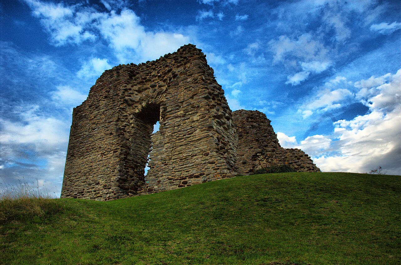
Christchurch Castle is a Norman motte and bailey castle in Christchurch, Dorset, England (grid reference SZ160927). The earliest stonework has been dated to 1160 (1160). The castle's site is inside the old Saxon burh dominating the River Avon's lowest crossing.
The Constable's House standing adjacent to the castle was added at around 1160, and is a rare and notable example of a Norman domestic dwelling. Today the bailey is home to a bowling green and gardens, and the ditch has been filled in, but parts of the keep and much of the Constable's House still stand. The site is managed by English Heritage.
Text adapted from “Christchurch Castle” on Wikipedia, CC BY-SA 4.0.
View on the interactive castle map →