 France · 17th century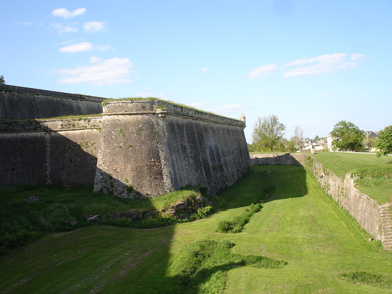
The Citadel de Blaye (French: Citadelle de Blaye) is a 25-hectare military complex built between 1685 and 1689 by military engineer François Ferry, director general fortifications of Guyenne, under the supervision of Vauban.
It was fully classified as a monument historique on 11 May 2009, and is also one of the twelve sites integrated into the Vauban major sites network and was therefore registered on July 7, 2008 on the list of world heritage sites by UNESCO.
Text adapted from “Citadel de Blaye” on Wikipedia, CC BY-SA 4.0.
Cidadel of Blaye ranks #2,283 of 9,079 worldwide in the atlas's castle fame ranking, and #177 of the 793 mapped in France. Founded 1680, it is older than 23% of the atlas's dated landmarks — one of 721 atlas entries founded in the 17th century. Its Wikipedia articles were opened 2,865 times in the last 60 days, more than 77% of the atlas. 7 more atlas landmarks stand within 25 km. See how France compares in the castle statistics.
View on the interactive castle map →