Fortress
Citadel of Belle-Île
 France
- Architect
- Sébastien Le Prestre de Vauban
- Heritage status
- monument historique inscrit · classified historical monument
- Location
- Le Palais
- Coordinates
- 47.3494°, -3.1547°
- Open data
- Wikidata Q2974380
- Links
- Wikimedia Commons
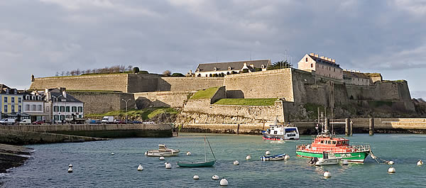
Description
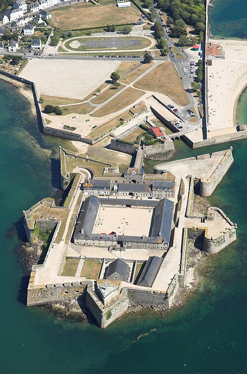
The citadel of Belle-Île-en-Mer, located in Belle-Île-en-Mer, overlooks the commune of Le Palais.
It is a fort overlooking a harbour that is attested very early under the name Balaë or Pallaé, of obscure origin, which gave its name to the commune of Palais (and not du Palais, because of this etymology). The old village with the church was on this slope until Vauban had it moved to the other side to form a glacis.
This fort defended the island against pirates, the Spanish and above all the English in 1683. It was enlarged by the dukes of Gondi de Retz, who made it a citadel, and improved by the superintendent Fouquet. Its double enclosure, its powerful corner bastions and its outworks bear the mark of Vauban, who stayed there in 1683, 1687 and 1689. Besieged at the end of the Seven Years' War, the citadel fell in 1761 into the hands of the English, who occupied the whole island until the Treaty of Paris of 1763.
This fortress notably served as a prison for the twelve accomplices of La Voisin, implicated in the Affair of the Poisons, as well as for two Haitian figures: the son of the Haitian politician Toussaint Louverture and the deputy of Saint-Domingue to the National Convention and the Council of Five Hundred, Jean-Baptiste Belley.
Machine-translated from “Citadelle de Belle-Île-en-Mer” on the French Wikipedia, CC BY-SA 4.0.
In the rankings
Citadel of Belle-Île ranks #6,903 of 9,902 worldwide in the atlas's castle fame ranking, and #641 of the 954 mapped in France. Its Wikipedia articles were opened 954 times in the last 60 days, more than 54% of the atlas. 2 more atlas landmarks stand within 25 km. See how France compares in the castle statistics.
Castles nearby
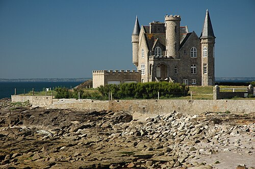
- Château Turpault14 km · France
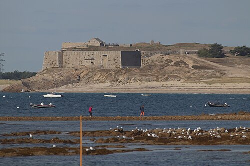
- Fort de Penthièvre22 km · France
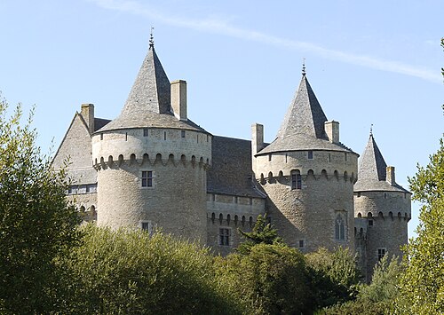
- Château de Suscinio37 km · France
- Citadel of Port-Louis43 km · France
More castles in France
- Château de Champigny-sur-VeudeFrance · 16th century
- Château de la BuzineFrance · 19th century
- Château de La Ferté-VidameFrance · 14th century
- Château d'EscoireFrance