 Netherlands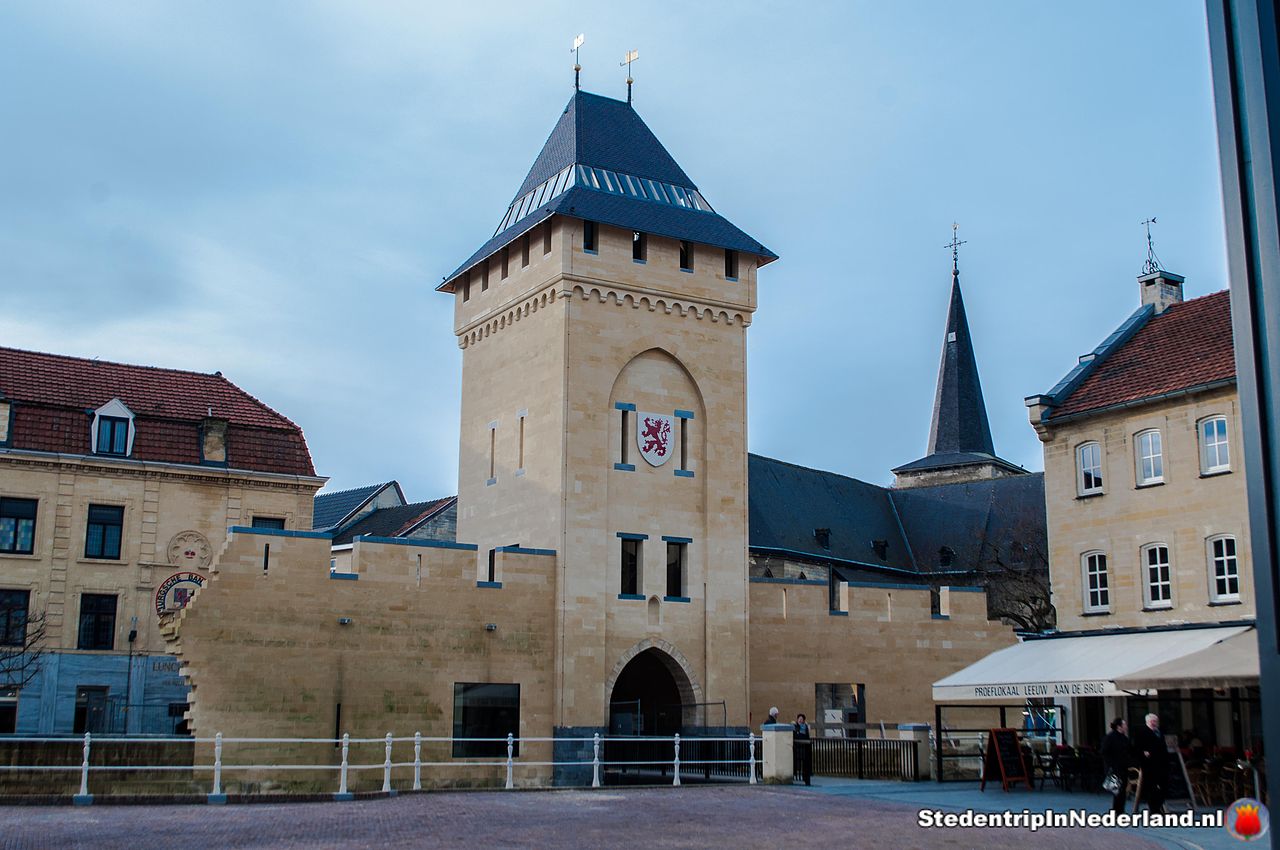
The fortifications of Valkenburg refers to the whole of the defensive works around the historic centre of the South Limburg town of Valkenburg. The visible remains of the Valkenburg fortress comprise the castle ruins of Valkenburg, the former bulwark Den Halder, parts of the town wall, several defensive towers and three town gates. With the exception of the Geulpoort, rebuilt in 2014, these are rijksmonumenten.
Machine-translated from “Vestingwerken van Valkenburg” on the Dutch Wikipedia, CC BY-SA 4.0.
City walls of Valkenburg ranks #8,824 of 9,079 worldwide in the atlas's castle fame ranking, and #192 of the 199 mapped in Netherlands. 47 more atlas landmarks stand within 25 km. The nearest day-trip guide is Aachen, 20 km away. See how Netherlands compares in the castle statistics.
View on the interactive castle map →