 Netherlands · 19th century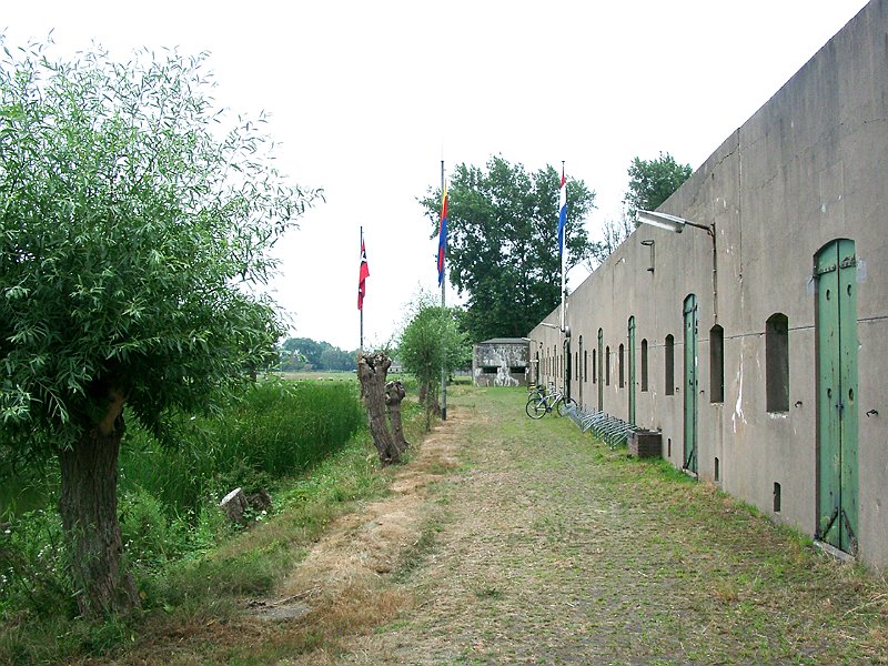
The Fort along Den Ham is a fort that is part of the UNESCO World Heritage site of the Stelling van Amsterdam. It's located along the railroad from Uitgeest to Krommenie. The earthen walls date from 1896, the fort itself was finished in 1903.
The fort was only used very briefly, during the First World War.
Text adapted from “Fort aan den Ham” on Wikipedia, CC BY-SA 4.0.
Ham Fort ranks #8,813 of 9,079 worldwide in the atlas's castle fame ranking, and #191 of the 199 mapped in Netherlands. Founded 1896 — one of 717 atlas entries founded in the 19th century. 13 more atlas landmarks stand within 25 km. The nearest day-trip guide is Amsterdam, 18 km away. See how Netherlands compares in the castle statistics.
View on the interactive castle map →