 Vietnam · 3rd century BC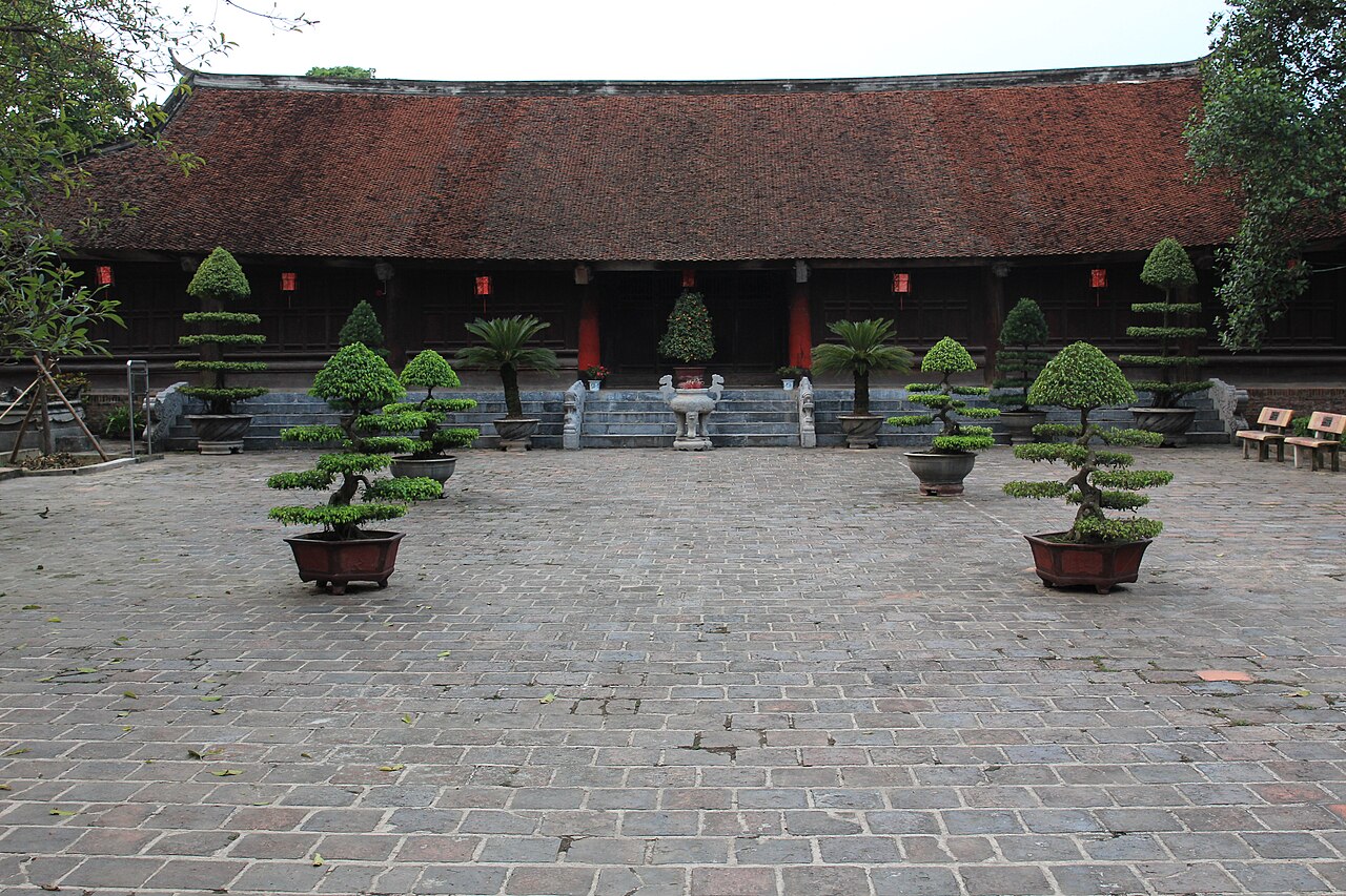
Cổ Loa Citadel is an ancient fortified city and archaeological site in present-day Hanoi's Đông Anh District, roughly 17 kilometers north of Hanoi, in the upper plain north of the Red River. Relics of the Bronze Age Phùng Nguyên culture and Đông Sơn culture have been found in Cổ Loa. It might be the first political center of the Vietnamese civilization. The settlement’s concentric walls resemble a snail’s shell; it had an outer embankment covering 600 hectares.
Text adapted from “Citadel of Cổ Loa” on Wikipedia, CC BY-SA 4.0.
Co Loa Citadel ranks #1,416 of 9,079 worldwide in the atlas's castle fame ranking, and #6 of the 10 mapped in Vietnam. Founded 257 BC, it is older than 99% of the atlas's dated landmarks — one of 11 atlas entries founded in the 3rd century BC. Its Wikipedia articles were opened 3,364 times in the last 60 days, more than 80% of the atlas. 2 more atlas landmarks stand within 25 km. See how Vietnam compares in the castle statistics.
View on the interactive castle map →