 England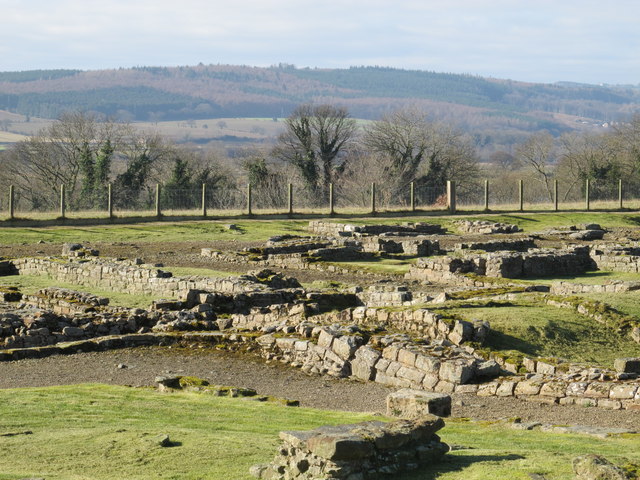
Coria was a fort and town 2.5 miles (4.0 km) south of Hadrian's Wall, in the Roman province of Britannia. It was strategically located on the junction of a major Roman north–south road (Dere Street) with the River Tyne and the Roman Stanegate road, which was also the first frontier line which ran east–west between Coria and Luguvalium (the modern Carlisle). Corbridge Roman Site is in the village of Corbridge in the county of Northumberland.
It is in the guardianship of English Heritage and is partially exposed as a visitor attraction, including a site museum.
Text adapted from “Coria (Corbridge)” on Wikipedia, CC BY-SA 4.0.
Coria ranks #3,089 of 9,079 worldwide in the atlas's castle fame ranking, and #207 of the 360 mapped in England. Its Wikipedia articles were opened 1,333 times in the last 60 days, more than 58% of the atlas. 13 more atlas landmarks stand within 25 km. The nearest day-trip guide is Newcastle upon Tyne, 27 km away. See how England compares in the castle statistics.
View on the interactive castle map →