 Wales · 13th century
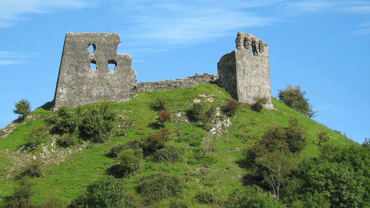
Dryslwyn Castle ranks #3,856 of 9,040 worldwide in the atlas's castle fame ranking, and #69 of the 107 mapped in Wales. Founded c. 1225, it is older than 73% of the atlas's dated landmarks, one of 1091 atlas entries founded in the 13th century. 6 more atlas landmarks stand within 25 km. The nearest day-trip guide is Swansea, 29 km away. See how Wales compares in the castle statistics.
Dryslwyn Castle (Welsh: Castell Dryslwyn or Castell y Drysllwyn) is a native Welsh castle, sited on a rocky hill roughly halfway between Llandeilo and Carmarthen in Wales. It stands on high ground overlooking the Towy Valley with extensive views. It was built in about the 1220s by one of the princes of the kingdom of Deheubarth, and changed hands several times in the struggles between the Welsh and English over the ensuing centuries. It is considered one of the most important remaining structures built by a Welsh chieftain and is a Grade I listed building.
Text adapted from “Dryslwyn Castle” on Wikipedia, CC BY-SA 4.0.
View on the interactive castle map →