Fortress
El Cañuelo
 Puerto Rico · 17th century
- Founded
- c. 1635
- Heritage status
- part of UNESCO World Heritage Site · National Register of Historic Places contributing property
- Location
- Toa Baja
- Coordinates
- 18.46639°, -66.13639°
- Open data
- Wikidata Q5350970
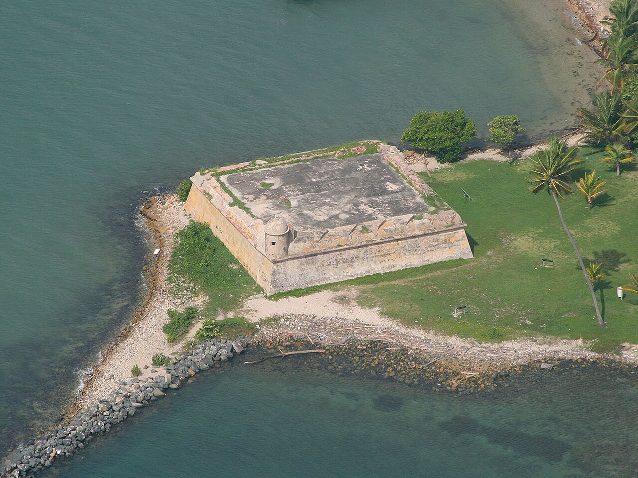
Description
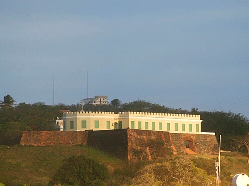
Fortín San Juan de la Cruz (English: Fort Saint John of the Cross), most commonly known as El Cañuelo, was built on Isla de Cabras in the Palo Seco barrio of the municipality of Toa Baja, at the western end of the entrance to San Juan Bay, in Puerto Rico. The square coastal fort has massive sandstone walls that date back to the 1630s. Although the U.S. Navy bombarded the fort in 1898, the fort survived. Today the fort is part of the San Juan National Historic Site, which is listed as a UNESCO World Heritage Site and on both the National Register of Historic Places and the Puerto Rico Register of Historic Sites and Zones. The fort is not open to visitors, but it can be viewed from its exterior.
Text adapted from “Fortín San Juan de la Cruz” on Wikipedia, CC BY-SA 4.0.
In the rankings
El Cañuelo ranks #6,761 of 9,040 worldwide in the atlas's castle fame ranking, and #4 of the 4 mapped in Puerto Rico. Founded c. 1635, it is older than 27% of the atlas's dated landmarks, one of 710 atlas entries founded in the 17th century. 3 more atlas landmarks stand within 25 km. See how Puerto Rico compares in the castle statistics.
Castles nearby
- Castillo San Felipe del Morro1 km · Puerto Rico
- La Fortaleza2 km · Puerto Rico
- Castillo San Cristóbal3 km · Puerto Rico
- Vieques Fort
 82 km · United States