Ruin
Whorlton Castle
 England · 12th century
- Founded
- c. 1125
- Heritage status
- Grade I listed building · scheduled monument
- Location
- Whorlton
- Coordinates
- 54.4153°, -1.26°
- Open data
- Wikidata Q7997651
Description
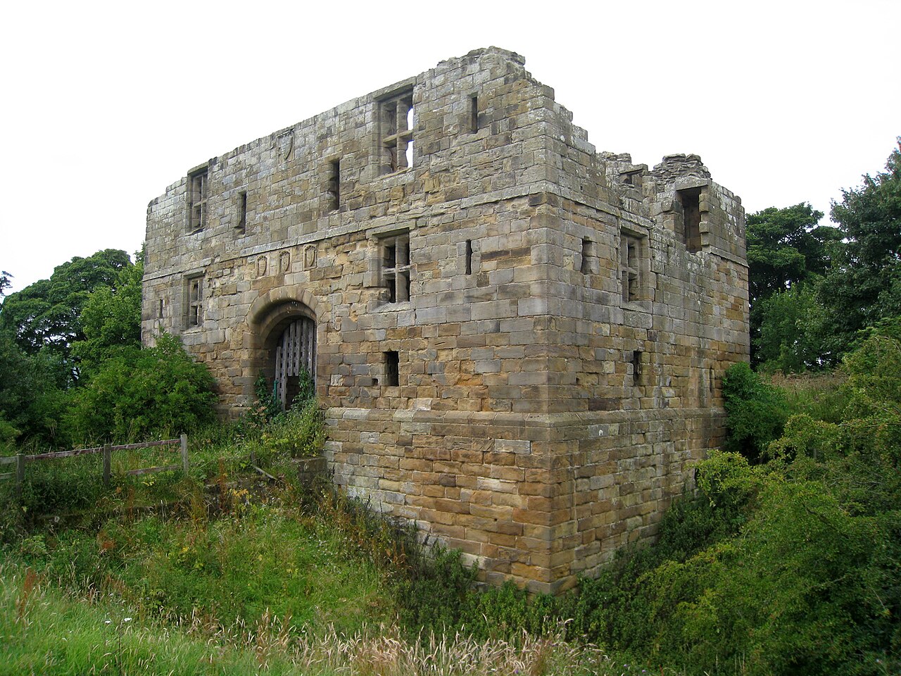
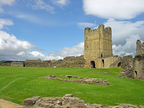
Whorlton Castle is a ruined medieval castle situated near the abandoned village of Whorlton (at grid reference NZ4802) in North Yorkshire, England. It was established in the early 12th century as a Norman motte-and-bailey fortification associated with the nearby settlement. The castle is an unusual example of a motte-and-bailey that remained in use throughout the Middle Ages and into the early modern period.
Built to overlook an important road on the western edge of the North York Moors, the castle fell into ruin as early as the mid-14th century. The site nonetheless continued to be inhabited until at least the early 17th century. Little now remains of the castle itself, other than the remnants of some cellars or undercrofts. The ruined shell of a 14th-century gatehouse still survives, albeit in fairly poor condition. It is a listed building and is privately owned, but can be visited by the public.
Text adapted from “Whorlton Castle” on Wikipedia, CC BY-SA 4.0.
In the rankings
Whorlton Castle ranks #6,393 of 9,040 worldwide in the atlas's castle fame ranking, and #349 of the 360 mapped in England. Founded c. 1125, it is older than 84% of the atlas's dated landmarks, one of 763 atlas entries founded in the 12th century. 2 more atlas landmarks stand within 25 km. The nearest day-trip guide is Sunderland, 55 km away. See how England compares in the castle statistics.
Castles nearby
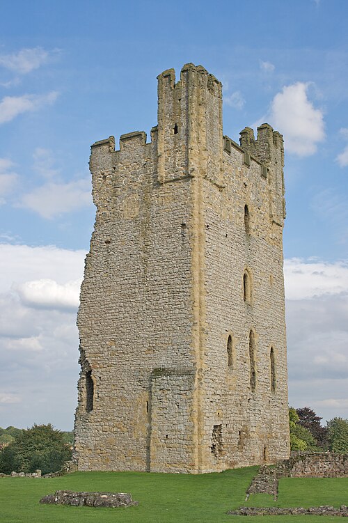
- Helmsley Castle23 km · England
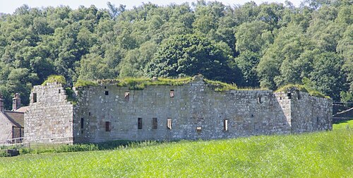
- Danby Castle24 km · England
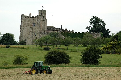
- Hornby Castle (North Yorkshire)27 km · England
- Richmond Castle31 km · England
More castles in England
- Horse Sand FortEngland · 19th century
- Castle Ashby HouseEngland
- Dobroyd CastleEngland
- Fort Perch RockEngland · 19th century