 Ireland · 16th century
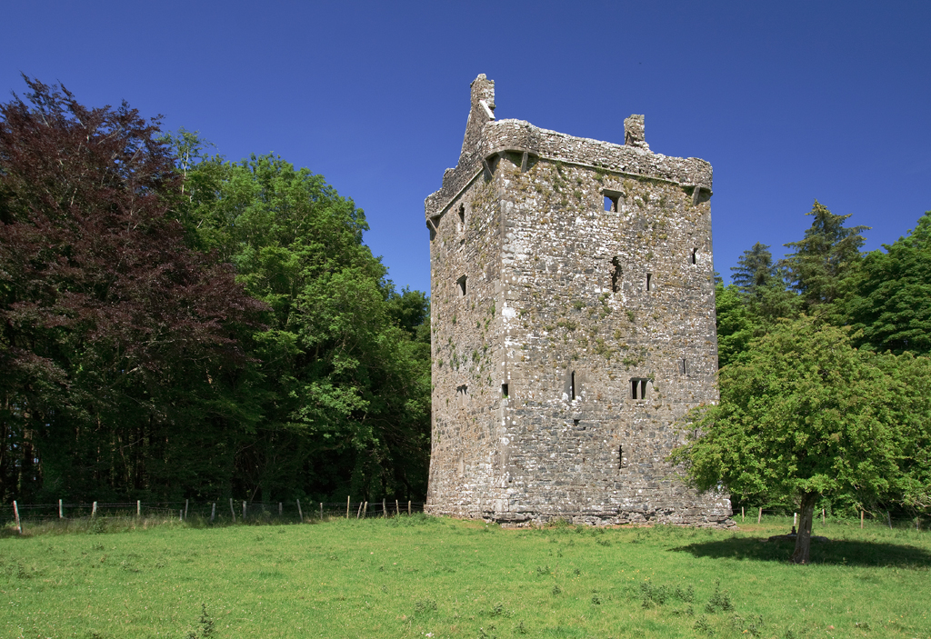
Feartagar Castle ranks #6,754 of 9,040 worldwide in the atlas's castle fame ranking, and #136 of the 178 mapped in Ireland. Founded c. 1550, it is older than 36% of the atlas's dated landmarks, one of 887 atlas entries founded in the 16th century. 3 more atlas landmarks stand within 25 km. The nearest day-trip guide is Galway, 34 km away. See how Ireland compares in the castle statistics.
Feartagar Castle, also called Jennings Castle, is a tower house and National Monument located in County Galway, Ireland.
Feartagar Castle lies on a hill 2.3 km (1.4 mi) east of Kilconly and 8.4 km (5.2 mi) northwest of Tuam, near to the River Nanny.
The tower house was built in the 15th–17th century by the de Burgos (Burkes, de Búrca). Descendants of William de Burgh (c. 1160 – 1205/06), Anglo-Norman knight and close friend of King John, the Burkes ruled in Connacht for centuries. They were dispossessed in 1651 by the Cromwellian conquest of Ireland. The castle later came into the possession of the Blakes of Tuam.
A five-storey tower house, 12 × 10 m at base (39 × 33 ft). Features include round bartizans on each corner, a machicolation above the doorway and a latrine chute. The second floor is vaulted and there are two stone staircases.
Text adapted from “Feartagar Castle” on Wikipedia, CC BY-SA 4.0.
View on the interactive castle map →