Castles near Galway
56 castles, fortresses, palaces and ruins within 100 km of the city centre: every one on the interactive map, with photos, distances and directions.
- Within 100 km
- 56 landmarks
- By type
- 34 castles · 2 fortresses · 2 palaces & châteaux · 18 ruins
- Closest
- Menlo Castle · 3 km
- Most famous
- Ashford Castle, County Mayo · #767
- Oldest
- Dun Aengus · c. 1100 BC
- City
- 83,456 residents
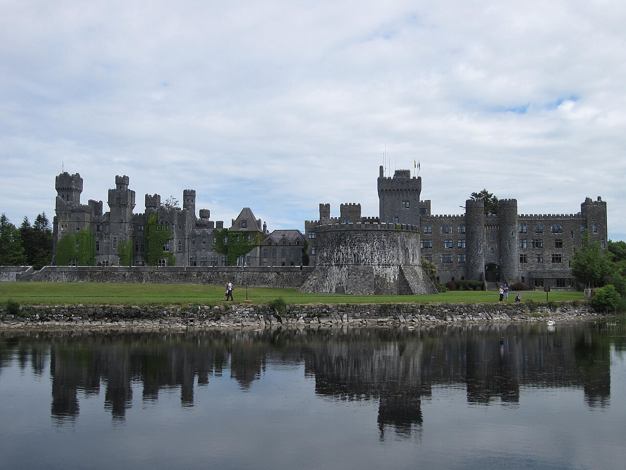
The closest is Menlo Castle, 3 km north-west of the city centre; the most famous is Ashford Castle, County Mayo (#767 of 9,902 worldwide) 33 km north-west. The oldest dated site in the circle is Dun Aengus, founded c. 1100 BC.
Every one of them stands in Ireland: the country page shows the full national picture.
Within 25 km of Galway
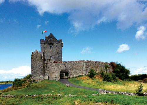
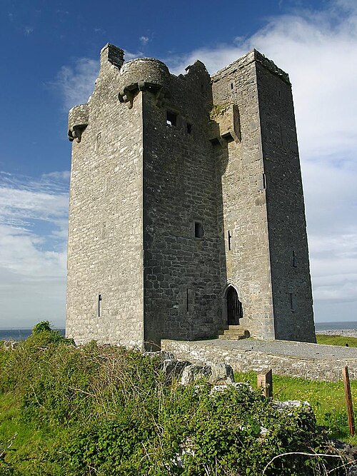
- Dunguaire Castle17 km south-east · Castle
Dunguaire Castle is a 16th-century tower house on the southeastern shore of Galway Bay in County Galway, Ireland, near Kinvara.
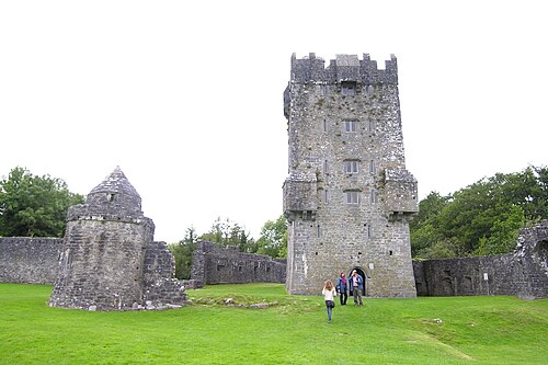
- Aughnanure Castle22 km north-west · Castle
Aughnanure Castle is a tower house near Oughterard on the N59, in County Galway, in the west of Ireland.
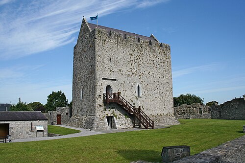
- Athenry Castle20 km east · Castle
Athenry Castle is a tower house and National Monument located in Athenry, Ireland.
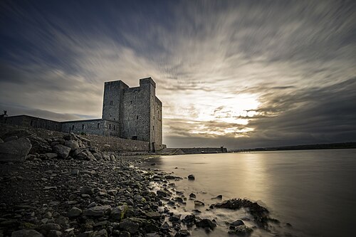
- Oranmore Castle8 km east · Castle
Oranmore Castle is a castle in Oranmore, County Galway, Ireland. Oranmore Castle was most likely built some time around the 15th century, possibly…
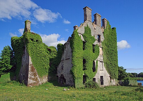
- Menlo Castle3 km north-west · Castle
Menlo Castle or Menlough Castle, also called Blake's Castle, is a 16th-century castle situated on the bank of the River Corrib near Menlo village in…
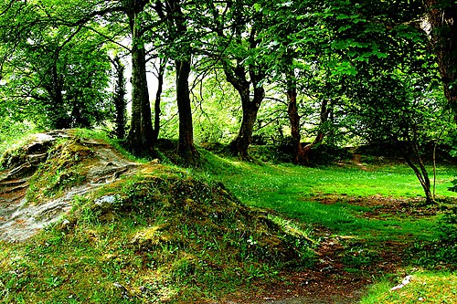
- Ballyallaban ringfort22 km south · Ruin
Ballyallaban ringfort or sometimes An Rath is an earthen ringfort south of Ballyvaughan in the Burren area, in County Clare, Ireland.
- Gleninagh Castle18 km south-west · Castle
Gleninagh or Glaninagh is a civil parish in County Clare, Ireland. It lies in the extreme northwest of the Burren, on the south of the mouth of…
Day trips: 25–60 km
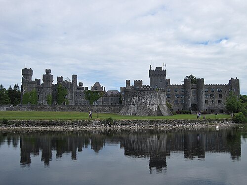
- Ashford Castle, County Mayo33 km north-west · Castle
Ashford Castle is a mainly Victorian and medieval castle near Cong on the County Mayo–Galway border in Ireland.
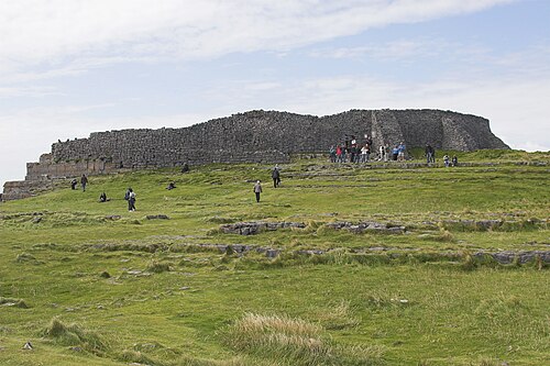
- Dun Aengus50 km west · Ruin
Dún Aonghasa is the best-known of several prehistoric hill forts on the Aran Islands of County Galway, Ireland.
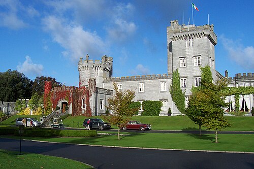
- Dromoland Castle55 km south · Castle
Dromoland Castle is a castle, located near Newmarket-on-Fergus in County Clare, Ireland.
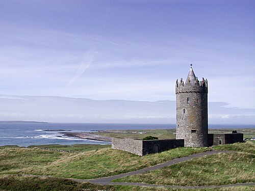
- Doonagore Castle37 km south-west · Castle
Doonagore Castle is a round 16th-century tower house with a small walled enclosure located about 1 km south of the coastal village of Doolin in…
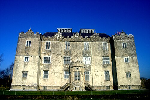
- Portumna Castle59 km east · Castle
Portumna Castle is a semi-fortified house in Portumna, County Galway, Ireland which was built in the early 17th century by Richard Burke, 4th Earl of…
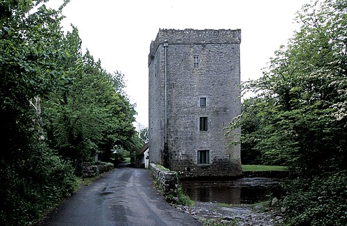
- Thoor Ballylee26 km south-east · Castle
Thoor Ballylee Castle is a fortified, 15th-century Anglo-Norman tower house built by the septs de Burgo, or Burke, near the town of Gort in County…
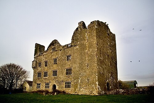
- Leamaneh Castle32 km south · Ruin
Leamaneh Castle is a ruined castle located in the townland of Leamaneh North, parish of Kilnaboy, between the villages of Corofin and Kilfenora at…
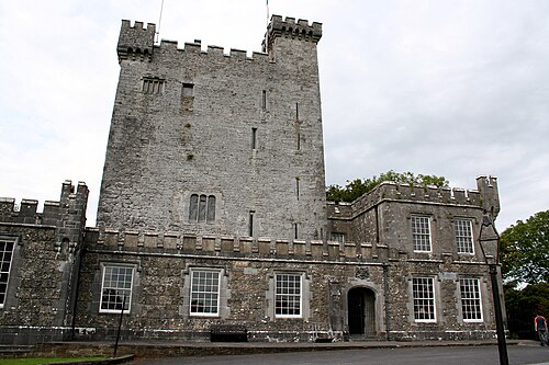
- Knappogue Castle55 km south · Castle
Knappogue Castle is a tower house, built in 1467 and expanded in the mid-19th century, located in the parish of Quin, County Clare, Ireland.
- Ballinalacken Castle32 km south-west · Castle
Ballinalacken Castle is a two-stage tower house located in Killilagh parish of County Clare, Ireland.
- Cahercommaun29 km south · Fortress
Cahercommaun, sometimes Cahercommane is a triple stone ringfort on the south-east edge of the Burren area, in Kilnaboy, near the rural village of…
- Dún Dúchathair46 km south-west · Fortress
Dún Dúchathair or simply Dúchathair, meaning "black fort", is a large stone fort on the cliffs at Cill Éinne,, Inishmore in County Galway, Ireland.
- Castlekirk39 km north-west · Ruin
Castlekirk, also called Hen's Castle, is a tower house and National Monument located in Lough Corrib, Ireland.
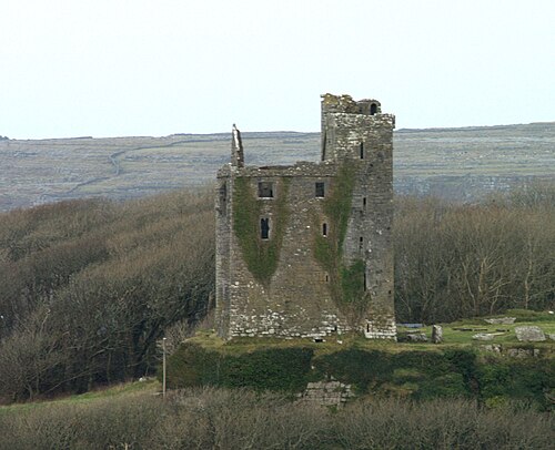
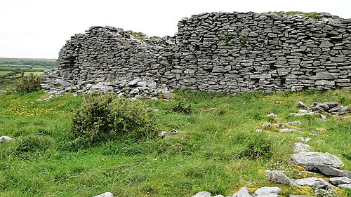
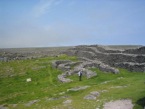
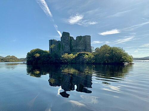
+ 12 more in this range: every one is on the interactive map.
Farther afield: 60–100 km
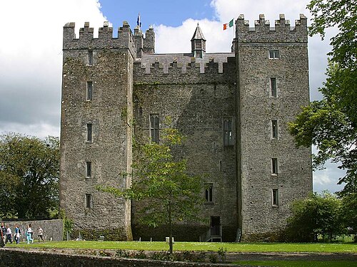
- Bunratty Castle66 km south · Castle
Bunratty Castle is a large 15th-century tower house in County Clare, Ireland.
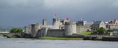
- King John's Castle (Limerick)73 km south-east · Castle
King John's Castle also known as Limerick Castle is a 13th-century castle located on King's Island in Limerick, Ireland, next to the River Shannon.
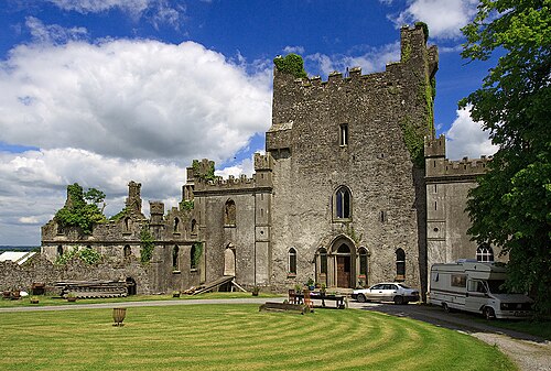
- Leap Castle87 km east · Castle
Leap Castle (Irish: Caisleán Léim Uí Bhánáin) is a castle in Roscrea, County Offaly, Ireland, about 6 kilometres north of the town of Roscrea and 10…
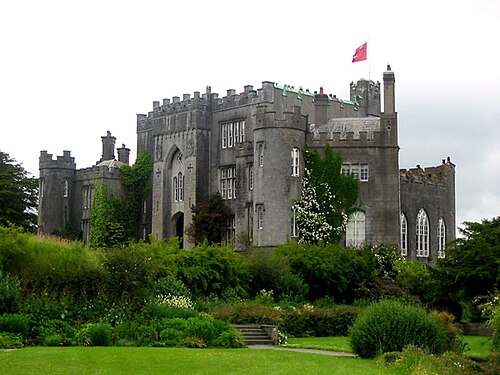
- Birr Castle78 km east · Castle
Birr Castle is a castle in the town of Birr in County Offaly, Ireland. It is the home of the 7th Earl of Rosse and his family, and as such the castle…
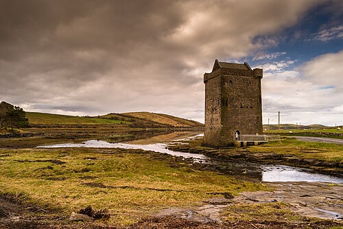
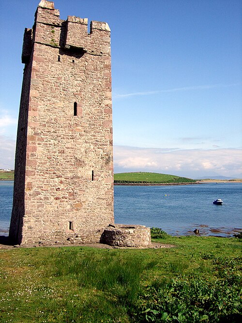
- Rockfleet Castle79 km north-west · Castle
Rockfleet Castle, or Carrickahowley Castle, is a tower house near Newport in County Mayo, Ireland.
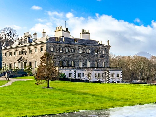
- Westport House67 km north-west · Palace & château
Westport House in Westport, County Mayo, Ireland, is a Georgian country house, historically the family seat of the Marquess of Sligo and the Brownes.
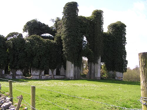
- Moydrum Castle81 km east · Ruin
Moydrum Castle is a ruined castle situated in the townland of Moydrum in County Westmeath in Ireland, just to the east of Athlone.
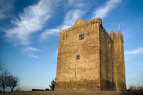
- Redwood Castle64 km east · Castle
Redwood Castle is a Norman castle near Lorrha in County Tipperary, Ireland. The castle was built by the Normans around 1200 AD, and was occupied by…
- Carrickkildavnet Castle90 km north-west · Ruin
Carrickkildavnet Castle or Kildavnet Castle is a tower house and National Monument located in Achill Island, Ireland.
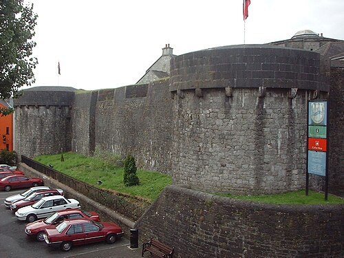
- Athlone Castle75 km east · Castle
Athlone Castle, sometimes known as Adamson Castle, is a castle located in Athlone, County Westmeath, Ireland, dating from the 12th century.
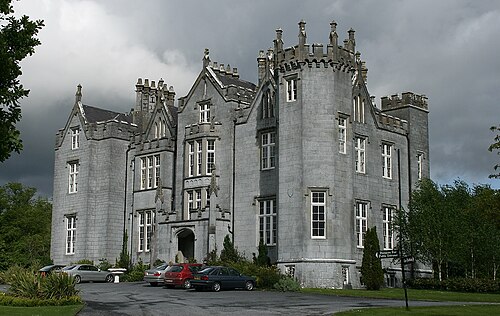
- Kinnitty Castle92 km east · Palace & château
Kinnitty Castle or Castle Bernard is a 19th-century gothic revival castle and hotel in Kinnitty, County Offaly, Ireland.
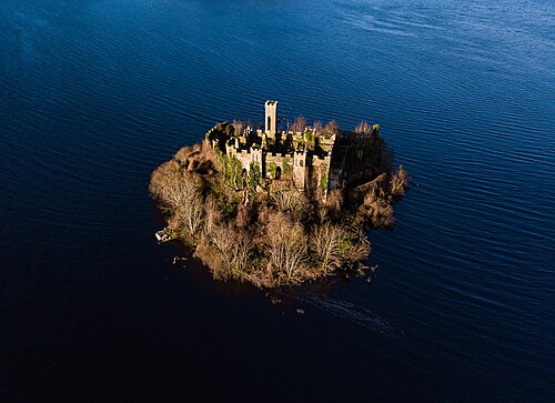
- McDermott's Castle96 km north-east · Castle
McDermott's Castle is a castle and protected national monument located in County Roscommon, Ireland.
+ 13 more in this range: every one is on the interactive map.
Distances are straight-line from the city centre. City coordinates and population: Wikidata Q129610.
Frequently asked questions
How many castles are near Galway?
The Castle Map atlas maps 56 landmarks (34 castles · 2 fortresses · 2 palaces & châteaux · 18 ruins) within 100 km of the centre of Galway, measured straight-line: a curated selection of well-documented landmarks, not a count of every fortification ever built.
What is the closest castle to Galway?
Menlo Castle, a castle 3 km north-west of the city centre.
What is the most famous castle near Galway?
Ashford Castle, County Mayo, ranked #767 of 9,902 worldwide in the atlas's fame ranking: 33 km north-west from Galway.
What is the oldest castle near Galway?
The oldest dated landmark in the circle is Dun Aengus, founded c. 1100 BC: 50 km west. Earlier structures may have existed; this is the oldest with a documented founding year.