 France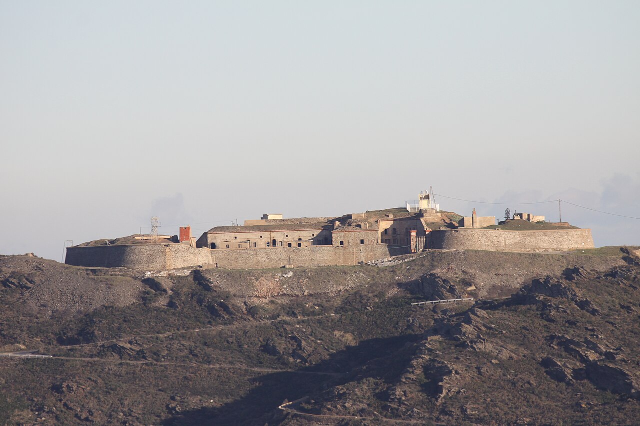
Fort Béar, or Fort du Cap Béar, is a military work built between 1877 and 1880, located east of the commune of Port-Vendres, in the Pyrénées-Orientales department, on the summit of Mont Béar at about 205 meters above sea level, overlooking Cap Béar on the Côte Vermeille.
It serves as a training site — mainly for urban combat — for troops on courses at the National Commando Training Centre, the unit responsible for training elite units of the French Army and other foreign armies in commando techniques. The installation is therefore empty outside of training periods.
Machine-translated from “Fort Béar” on the French Wikipedia, CC BY-SA 4.0.
Fort Béar ranks #7,616 of 9,079 worldwide in the atlas's castle fame ranking, and #720 of the 793 mapped in France. 7 more atlas landmarks stand within 25 km. The nearest day-trip guide is Perpignan, 28 km away. See how France compares in the castle statistics.
View on the interactive castle map →