Fortress
Fort Carroll
 United States
- Heritage status
- National Register of Historic Places listed place
- Location
- Baltimore County
- Coordinates
- 39.2146°, -76.5192°
- Open data
- Wikidata Q5470892
- Links
- OpenStreetMap · Wikimedia Commons
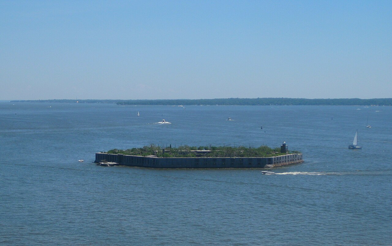
Description
Fort Carroll is a 3.4-acre (1.4 ha) artificial island and abandoned hexagonal sea fort in the middle of the Patapsco River, just south of Baltimore, Maryland. It is named for Charles Carroll of Carrollton (1737–1832), a signer of the Declaration of Independence.
In 1847, the State of Maryland permitted the United States War Department to construct a fort in the shallow water of Soller's Point Flats to protect the city of Baltimore. Fort Carroll was important for the defense of Baltimore—before the fort's construction, Fort McHenry just outside the city was the only military defensive structure between Baltimore and the Chesapeake Bay. The fort was part of the "Permanent System" or Third System construction program, which aimed to defend America's most important ports.
Then Brevet-Colonel Robert E. Lee designed the hexagonal structure and supervised the construction, which the U.S. Army Corps of Engineers commenced in 1848. The fort received its name on October 8, 1850. In 1852, Lee left Baltimore to become Superintendent of the United States Military Academy at West Point.
In 1853, a lighthouse, now abandoned, was built on the ramparts to aid navigation into Baltimore Harbor. In 1898, a new lighthouse was built, which is still seen today. It was automated in 1920 and discontinued operations sometime before 1945.
The original design foresaw the fort armed with 225 cannons on three levels. However, in April 1861, at the American Civil War outbreak, Fort Carroll's walls were still less than half the planned height of thirty feet. Only five gun platforms were ready, and only two were armed. Still, the Army placed about thirty cannons and occupied the fort throughout the war. In April 1864, torrential rains flooded the fort's magazines, which led the Army to move all the powder and ammunition to Fort McHenry.
When the United States entered the Spanish–American War in 1898, the Army again defended the fort, although the batteries were completely obsolete by then. The Army, therefore, commenced the construction of modern concrete gun emplacements following the Board of Fortifications designs. The Army created three batteries: Battery Towson (two 12" barbette carriage guns), Battery Heart (two 5-inch M1897 guns on balanced pillar mounts) and Battery Augustin (two 3" balanced pedestal-mount guns).
Text adapted from “Fort Carroll” on Wikipedia, CC BY-SA 4.0.
In the rankings
Fort Carroll ranks #6,007 of 9,902 worldwide in the atlas's castle fame ranking, and #105 of the 120 mapped in United States. Its Wikipedia articles were opened 1,578 times in the last 60 days, more than 68% of the atlas. 1 more atlas landmarks stand within 25 km. See how United States compares in the castle statistics.
Castles nearby
- Fort McHenry8 km · United States
- Fort Washington (Maryland)71 km · United States
- Fort Delaware91 km · United States
- Fort Christina102 km · United States
More castles in the United States
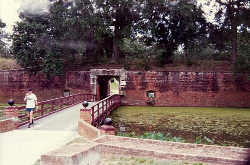
- Fort JacksonUnited States · 19th century
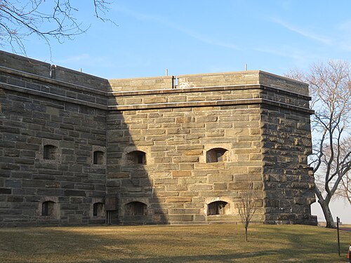
- Fort SchuylerUnited States · 19th century
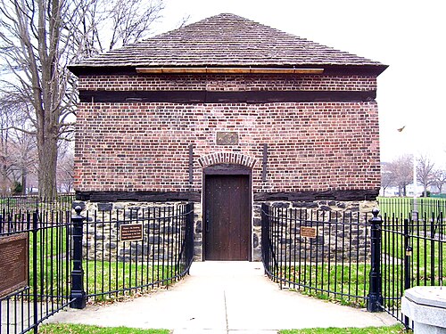
- Fort Pitt BlockhouseUnited States · 18th century
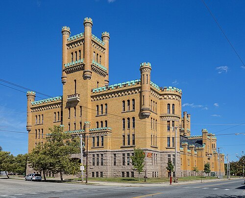
- Cranston Street ArmoryUnited States · 20th century