Fortress
Fort Charlotte (Saint Vincent)
🇻🇨 Saint Vincent and the Grenadines · 18th century
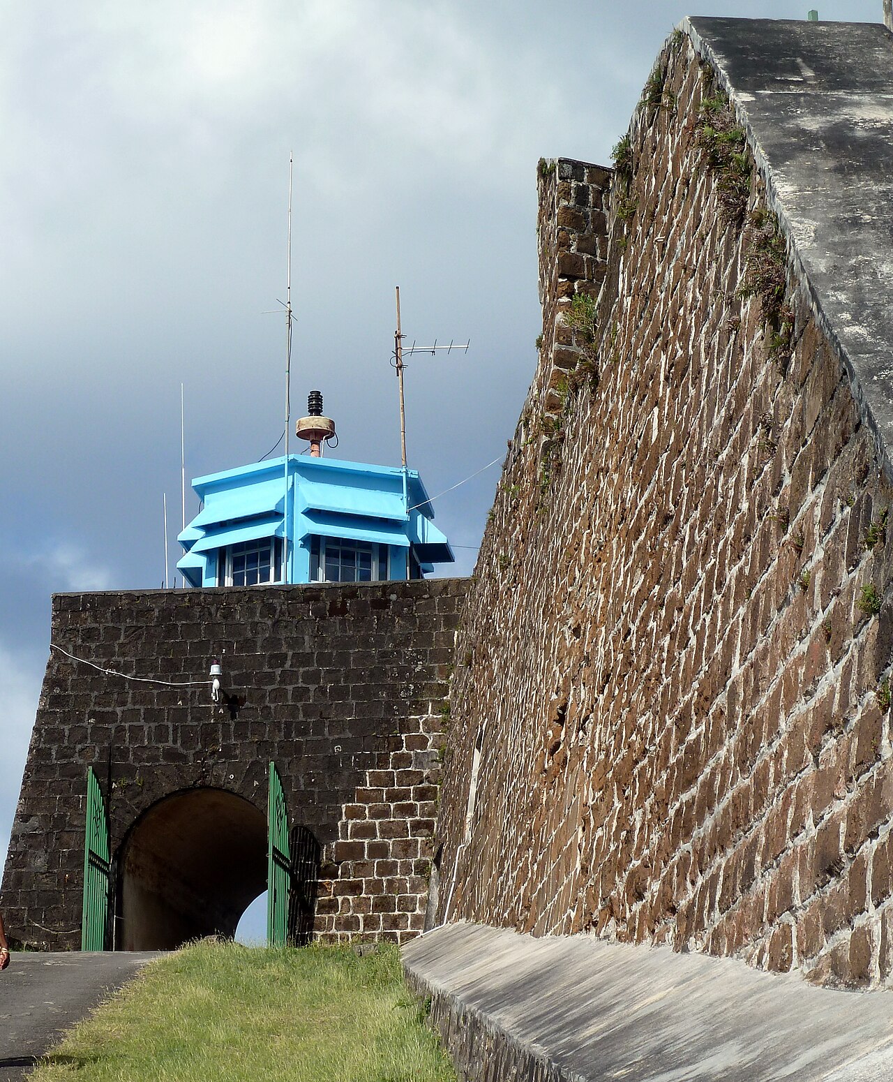
Fort Charlotte is a British-colonial era fort, built on a hill overlooking the harbour of Kingstown, Saint Vincent. It is located in the parish of Saint Andrew, Saint Vincent and the Grenadines at the top of Edinboro road, on Berkshire Hill, just west of the town.
Standing at 601 feet above the sea level, it is the major early 19th-century fortification in Saint Vincent. The fort enjoys a panoramic view of the Leeward side of the island, including Kingstown, Young Island, the Caribbean, Bequia and the Grenadines. On a clear day, Grenada, 90 miles to the south, can be seen.
Text adapted from “Fort Charlotte, Saint Vincent” on Wikipedia, CC BY-SA 4.0.
Fort Charlotte (Saint Vincent) ranks #7,009 of 8,764 worldwide in the atlas's castle fame ranking. Founded 1763, it is older than 16% of the atlas's dated landmarks — one of 638 atlas entries founded in the 18th century. See how Saint Vincent and the Grenadines compares in the castle statistics.
View on the interactive castle map →Frequently asked questions
Where is Fort Charlotte (Saint Vincent)?
Fort Charlotte (Saint Vincent) stands in Saint Vincent and the Grenadines, at 13.15789°, -61.24211°.
When was Fort Charlotte (Saint Vincent) built?
The atlas dates its founding to 1763. Earlier structures may have stood on the site; this is the earliest documented founding year.
How famous is Fort Charlotte (Saint Vincent)?
In this atlas's fame ranking: #7,009 of 8,764 worldwide. Fame here combines how many Wikipedia language editions cover a landmark with how many people read them.
What is the nearest castle to Fort Charlotte (Saint Vincent)?
Fort Saint Louis (Martinique), about 161 km away.
More fortresses
- Fort d'Estrées Senegal · 19th century
- Fort Balibo Timor-Leste · 17th century
- Ksar Chenini Tunisia
- Beçin Turkey