Fortress
Fort du Mont Bart
🇫🇷 France · 19th century
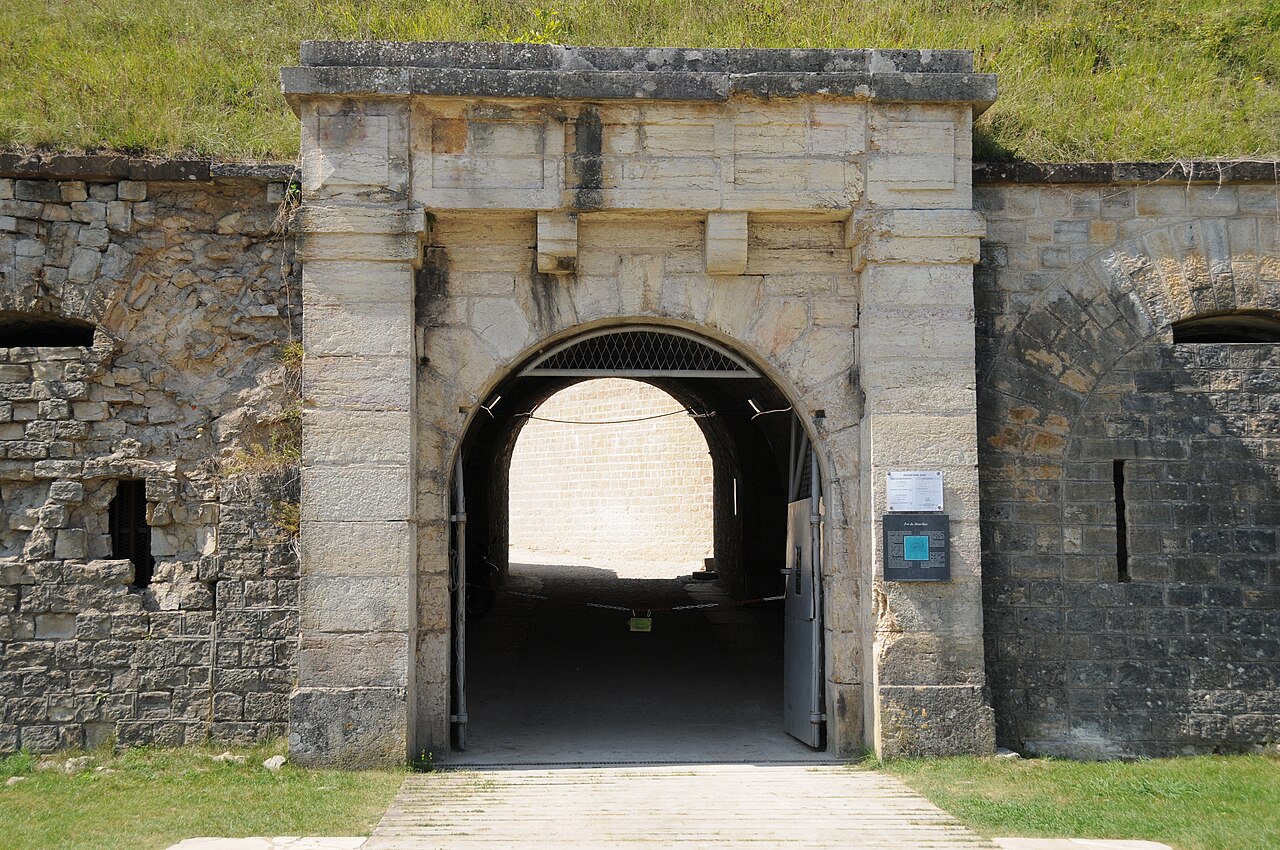
Fort du Mont Bart is located to the south of Montbéliard, France. It was built between November 1874 and July 1877 as part of the Séré de Rivières system of fortifications. The fort overlooks the valleys of the Doubs and the Allan at an elevation of 497 metres (1,631 ft), standing to the south and rear of the fortified region of Belfort and in control of the road to Besançon. The fort was intended to augment the Belfort fortifications and to prevent an enemy from bypassing them.
The most striking feature of the Fort du Mont Bart is its "interior street", originally constructed in the open air as a sunken court, then covered before World War I with reinforced concrete.
Text adapted from “Fort du Mont Bart” on Wikipedia, CC BY-SA 4.0.
Fort du Mont Bart ranks #7,224 of 8,764 worldwide in the atlas's castle fame ranking, and #622 of the 675 mapped in France. Founded 1874, it is older than 6% of the atlas's dated landmarks — one of 655 atlas entries founded in the 19th century. 4 more atlas landmarks stand within 25 km. The nearest day-trip guide is Mulhouse, 52 km away. See how France compares in the castle statistics.
View on the interactive castle map →Frequently asked questions
Where is Fort du Mont Bart?
Fort du Mont Bart stands in France, at 47.48644°, 6.76163°.
When was Fort du Mont Bart built?
The atlas dates its founding to 1874. Earlier structures may have stood on the site; this is the earliest documented founding year.
How famous is Fort du Mont Bart?
In this atlas's fame ranking: #7,224 of 8,764 worldwide, and #622 in France. Fame here combines how many Wikipedia language editions cover a landmark with how many people read them.
What is the nearest castle to Fort du Mont Bart?
Château de Montbéliard, about 4 km away.
More castles in France
- Fort l'Écluse France · 13th century
- Fortress of Miolans France · 11th century
- Hauterive Castle France
- Nantouillet Castle France · 13th century
More fortresses
- Tour Royale France · 16th century
- Fort Constantin Germany · 19th century
- Lichtenau Fortress Germany
- Wilhelmstein Germany · 18th century