Fortress
Fort l'Écluse
 France · 13th century
- Founded
- c. 1225
- Location
- Léaz
- Visitors
- ≈30,000 (2009)
- Coordinates
- 46.12083°, 5.89278°
- Open data
- Wikidata Q3078389
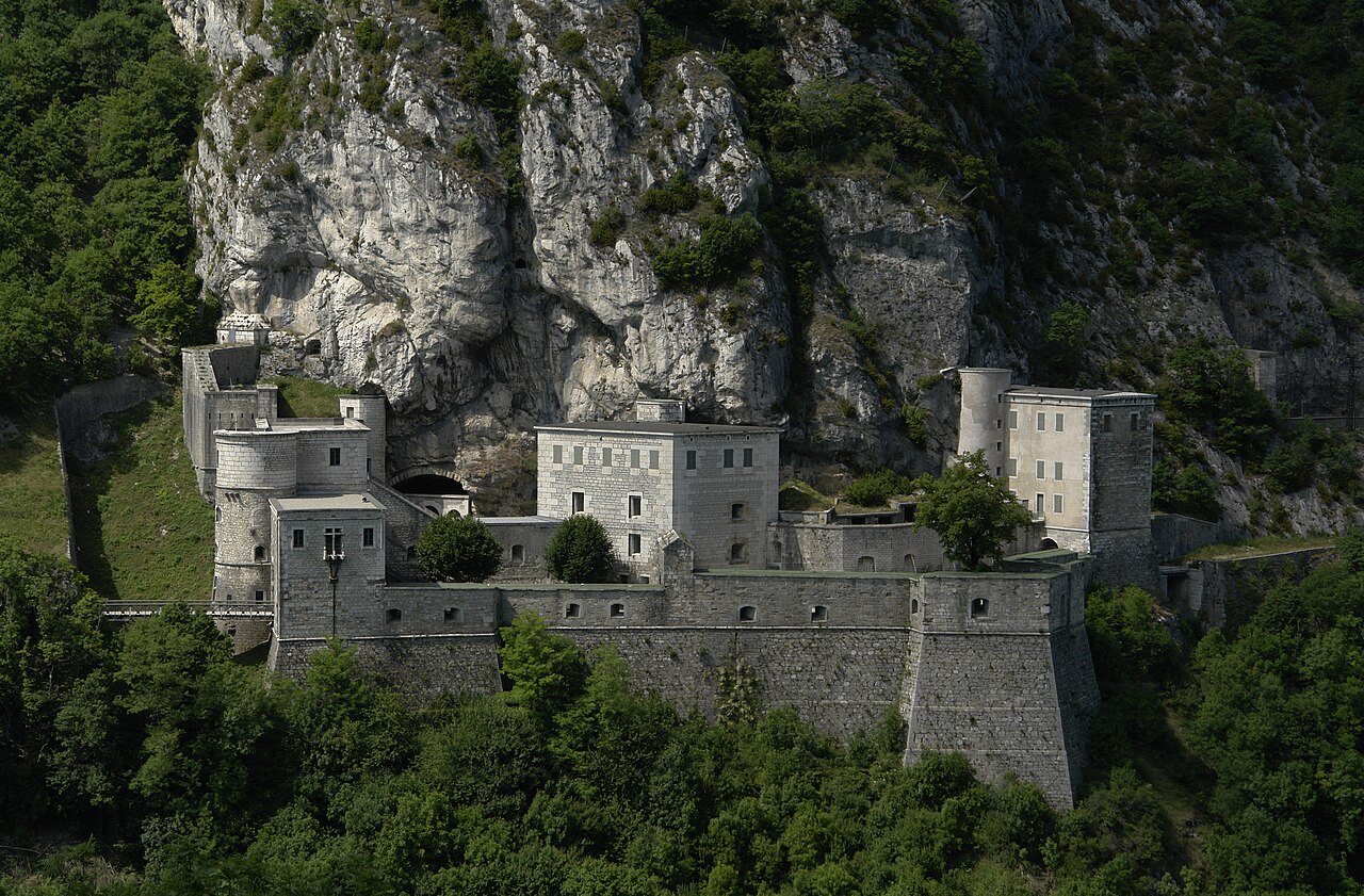
Description
Fort l'Écluse, or the Fort de l'Écluse, is a military fort in Léaz, Ain, close to Collonges in Eastern France. It commands the Rhône Valley as a natural entrance into France from Switzerland between the Vuache and the Jura Mountains.
The fort, which was established by a Duke of Savoy, was completed by Sébastien Le Prestre de Vauban during the reign of King Louis XIV. It was destroyed by the Austrians in 1815, but rebuilt by the French; at the same time it was considerably strengthened and heightened. The high-road intersects a portion of this fortification.
Text adapted from “Fort l'Écluse” on Wikipedia, CC BY-SA 4.0.
In the rankings
Fort l'Écluse ranks #4,330 of 9,040 worldwide in the atlas's castle fame ranking, and #354 of the 787 mapped in France. Founded c. 1225, it is older than 73% of the atlas's dated landmarks, one of 1091 atlas entries founded in the 13th century. Its Wikipedia articles were opened 2,563 times in the last 60 days, more than 75% of the atlas. Wikidata records about 30,000 visitors in 2009. 5 more atlas landmarks stand within 25 km. The nearest day-trip guide is Geneva, 22 km away. See how France compares in the castle statistics.
Castles nearby
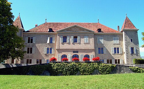
- Dardagny Castle
 11 km · Switzerland
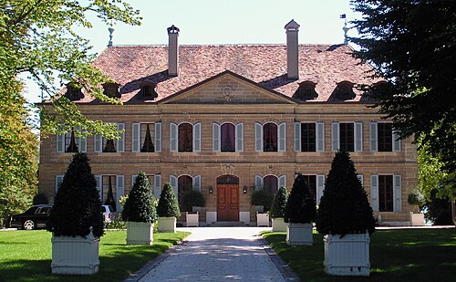
- Choully Castle16 km · Switzerland
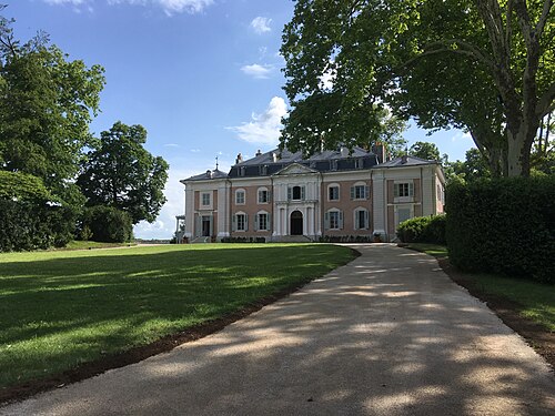
- Château de Voltaire22 km · France
- Palais Wilson22 km · Switzerland
More castles in France
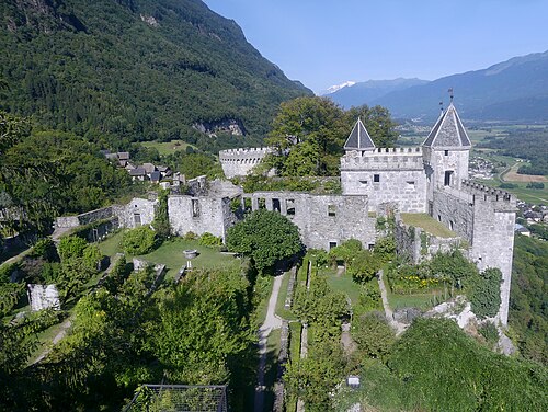
- Fortress of MiolansFrance · 11th century
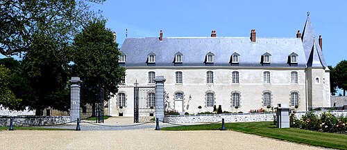
- Hauterive CastleFrance
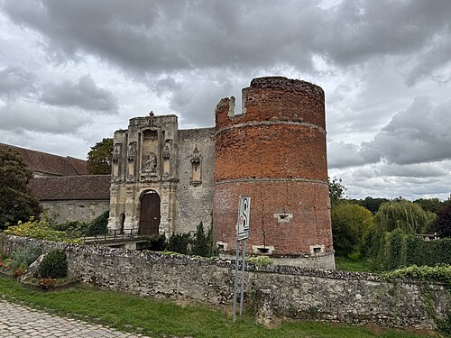
- Nantouillet CastleFrance · 13th century
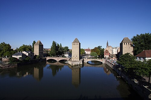
- Ponts Couverts, StrasbourgFrance · 13th century