Fortress
Fort du Roule
 France · 18th century
- Founded
- 1793
- Heritage status
- classified historical monument
- Location
- Cherbourg-en-Cotentin
- Coordinates
- 49.63059°, -1.61377°
- Open data
- Wikidata Q20724645
- Links
- Wikimedia Commons
Description
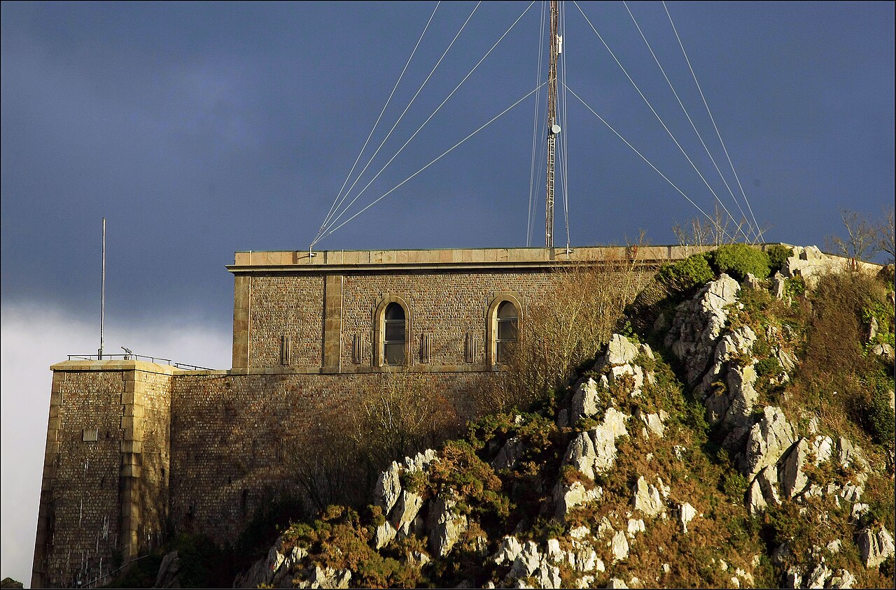
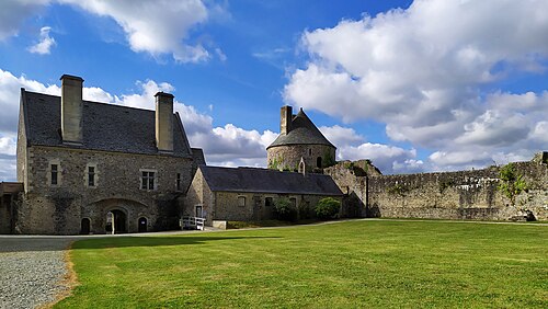
The Fort du Roule is a collection of French and German fortifications built in the nineteenth and twentieth centuries on the Roule mountain in Cherbourg (Cherbourg-en-Cotentin since 2016).
The first fortifications were built in 1793 to protect the Bay of Cherbourg from English attacks. The current fort, at the top of the mountain, was built between 1853 and 1857 under Napoleon III. In 1928, the Navy built extensive tunnels under it to store equipment. During the Second World War, the Todt Organisation built several tunnels, installed casemates for artillery, and built gun emplacements. The fort was captured after fierce fighting by the U.S. Army on June 26, 1944.
After the war, the Navy took possession of the site and set up its command post in the first maritime region until 1988, when part of the site became a naval communications center. The School of Military Applications of Atomic Energy uses some of the facilities. The fortifications at the top of the mountain now house the Cherbourg Liberation Museum, and the tunnels leading to the German gun emplacements are open to the public.
Text adapted from “Fort du Roule” on Wikipedia, CC BY-SA 4.0.
In the rankings
Fort du Roule ranks #6,378 of 9,902 worldwide in the atlas's castle fame ranking, and #566 of the 954 mapped in France. Founded 1793, it is older than 13% of the atlas's dated landmarks, one of 757 atlas entries founded in the 18th century. Its Wikipedia articles were opened 899 times in the last 60 days, more than 52% of the atlas. 3 more atlas landmarks stand within 25 km. It is one of the 43 landmarks on the atlas's regional map of Normandy. See how France compares in the castle statistics.
Castles nearby
- Château des Ravalet3 km · France
- Château de Bricquebec18 km · France
- Château de Tocqueville21 km · France
- Château de Saint-Sauveur-le-Vicomte28 km · France
More castles in France
- Château des MesnulsFrance
- Château de Mesnil-VoisinFrance · 17th century
- Château de BougesFrance · 18th century
- Château de TurenneFrance