Ruin
Château de Saint-Sauveur-le-Vicomte
 France · 10th century
- Founded
- c. 1000
- Style
- Medieval architecture
- Heritage status
- classified historical monument
- Location
- Saint-Sauveur-le-Vicomte
- Coordinates
- 49.38639°, -1.52806°
- Open data
- Wikidata Q2970588
Description
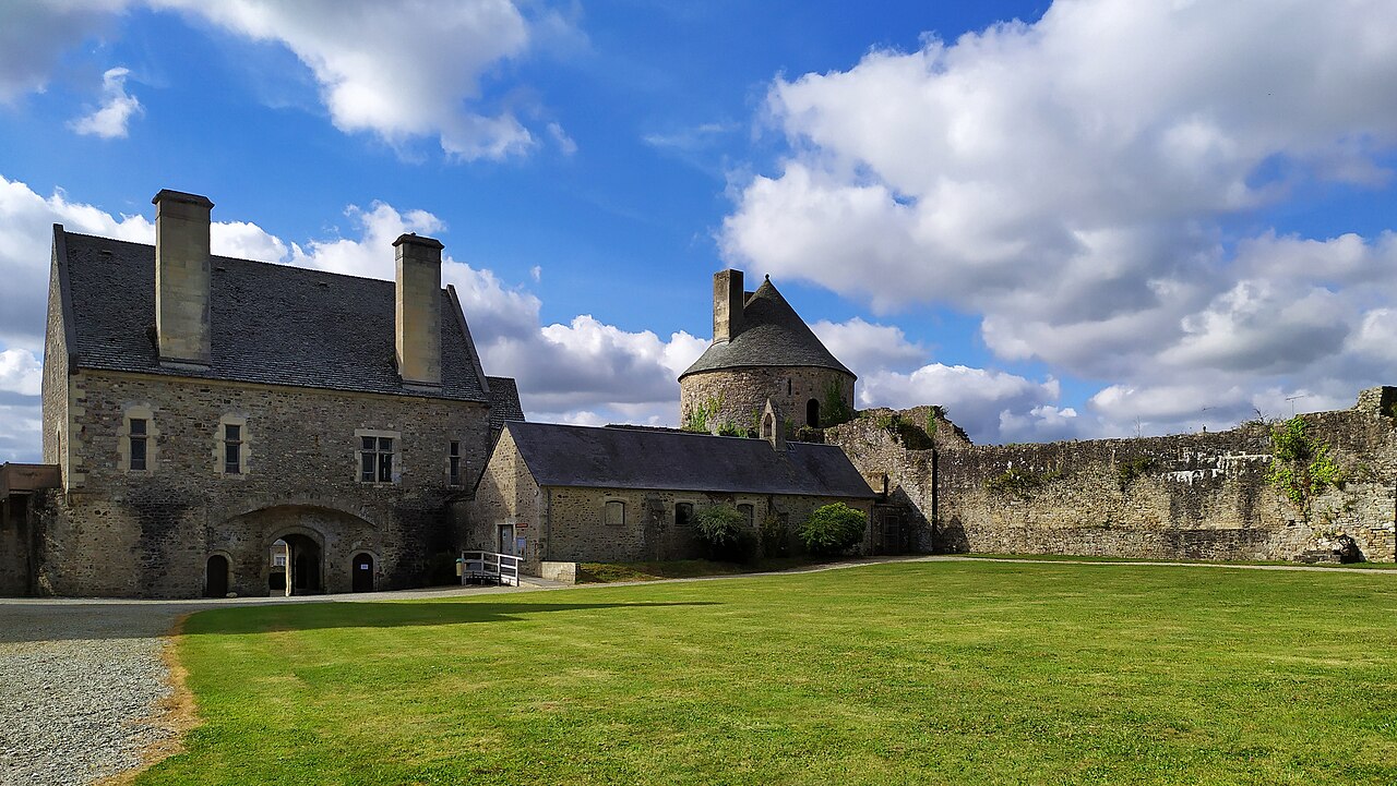
The Château de Saint-Sauveur-le-Vicomte (French pronunciation: [ʃato də sɛ̃ sovœʁ lə vikɔ̃t]) is a castle ruin in the commune of Saint-Sauveur-le-Vicomte, in the northwestern French department of Manche.
The castle, dating from the 11th and 12th centuries, was besieged twice during the Hundred Years' War. The remains consist of a fortified enceinte with towers and a massive keep.
The castle is open to the public. It has been listed since 1840 as a monument historique by the French Ministry of Culture.
Text adapted from “Château de Saint-Sauveur-le-Vicomte” on Wikipedia, CC BY-SA 4.0.
In the rankings
Château de Saint-Sauveur-le-Vicomte ranks #5,729 of 9,040 worldwide in the atlas's castle fame ranking, and #510 of the 787 mapped in France. Founded c. 1000, it is older than 91% of the atlas's dated landmarks, one of 192 atlas entries founded in the 10th century. 1 more atlas landmarks stand within 25 km. It is one of the 33 landmarks on the atlas's regional map of Normandy. See how France compares in the castle statistics.
Castles nearby
- Château de Bricquebec12 km · France
- Château de Pirou25 km · France
- Château des Ravalet27 km · France
- Îles Saint-Marcouf30 km · France
More castles in France
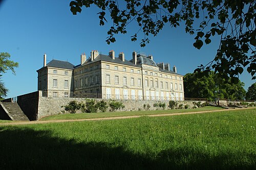
- Château de SourchesFrance · 18th century
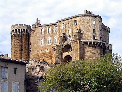
- Château de Suze-la-RousseFrance · 11th century
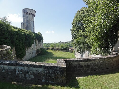
- Château de TaillebourgFrance
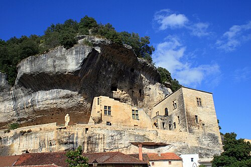
- Château de TayacFrance · 13th century