 Indonesia · 16th century
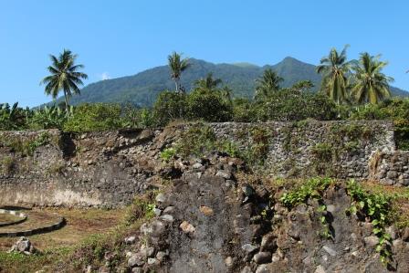
Fort Kastella ranks #5,612 of 9,040 worldwide in the atlas's castle fame ranking, and #28 of the 43 mapped in Indonesia. Founded 1522, it is older than 41% of the atlas's dated landmarks, one of 887 atlas entries founded in the 16th century. 4 more atlas landmarks stand within 25 km. See how Indonesia compares in the castle statistics.
Fort Kastela (Indonesian: Benteng Kastela) is a ruined Portuguese fortress located at the southwest coast of Ternate. It is famous for being the first colonial fortification constructed in the Spice Islands (Maluku) of Indonesia. Built by the Portuguese in 1522, it is also referred to in different languages as São João Baptista de Ternate or Fortaleza de Ternate (Portuguese), Ciudad del Rosario (Spanish) or Gammalamma (Ternatean and Dutch). Today it is locally known as Kastella, named after the Spanish region of Castile.
Text adapted from “Fort Kastela” on Wikipedia, CC BY-SA 4.0.
View on the interactive castle map →