Fortress
Fort Lytton
🇦🇺 Australia
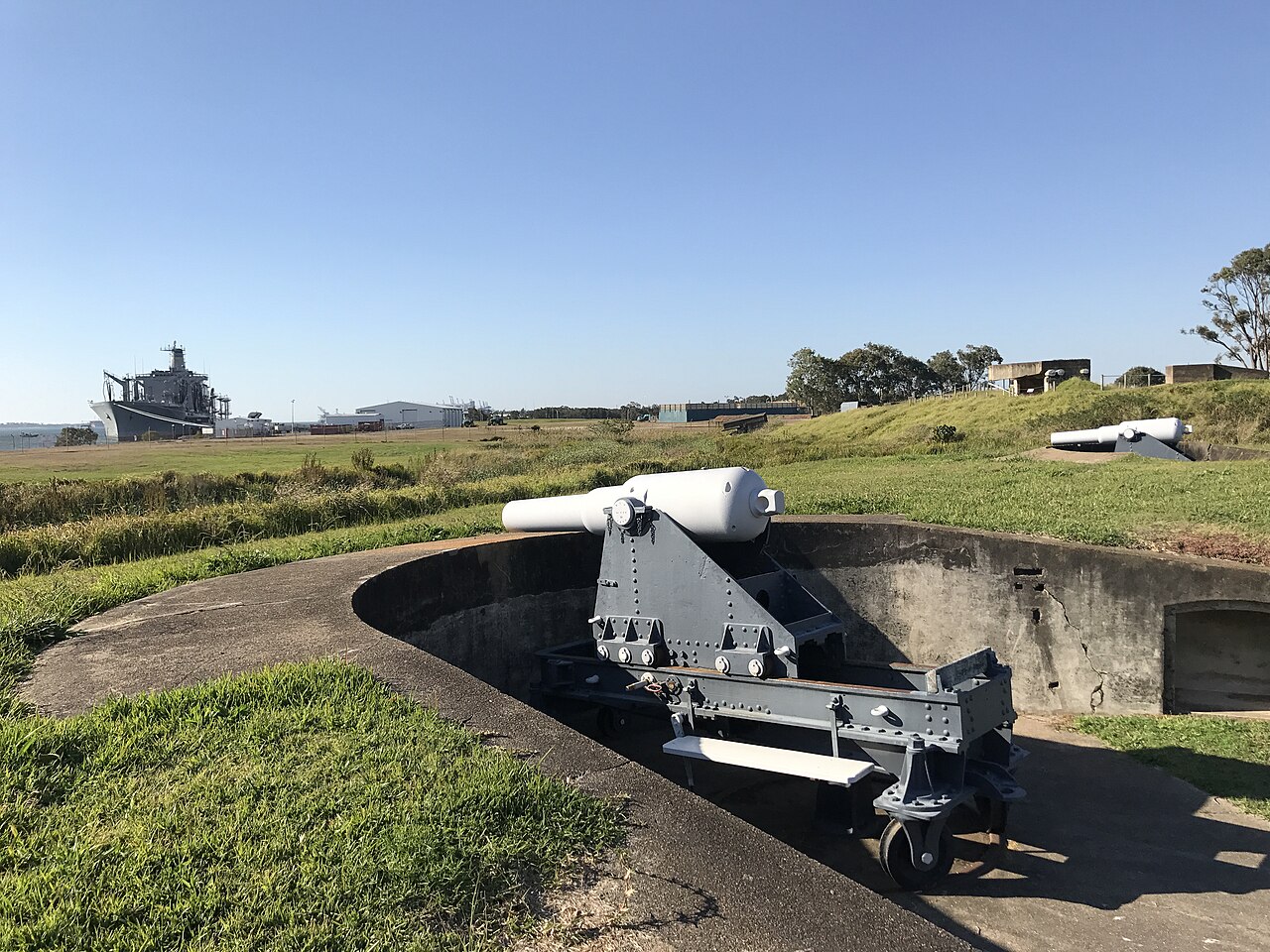
Fort Lytton is a heritage-listed 19th-century coastal fort in the suburb of Lytton in Brisbane, Queensland, Australia. The name “Fort Lytton” is also used to describe the 1 square mile (2.6 km2) military base that surrounded the fort. Fort Lytton was built in 1880–1882, and operated until 1965. The historic fort is now contained in Fort Lytton National Park. The park is open to the public on most Sundays and public holidays. Guided tours are provided by Fort Lytton Historical Association, a non-profit volunteer organisation.
Text adapted from “Fort Lytton” on Wikipedia, CC BY-SA 4.0.
Fort Lytton ranks #6,925 of 8,134 worldwide in the atlas's castle fame ranking, and #8 of the 14 mapped in Australia. See how Australia compares in the castle statistics.
View on the interactive castle map →Frequently asked questions
Where is Fort Lytton?
Fort Lytton stands in Australia, at -27.41224°, 153.15079°.
How famous is Fort Lytton?
In this atlas's fame ranking: #6,925 of 8,134 worldwide, and #8 in Australia. Fame here combines how many Wikipedia language editions cover a landmark with how many people read them.
What is the nearest castle to Fort Lytton?
Fort Cowan Cowan, about 38 km away.
More castles in Australia
- Fort Banks Australia · 20th century
- Middle Head Fortifications Australia
- Fort Scratchley Australia · 19th century
- Princess Royal Fortress Australia
More fortresses
- Świnoujście Fortress Poland · 19th century
- Fort Tscha-M Poland
- Fort X Augustówka Poland
- Fort Tscha Poland · 19th century