 Curaçao · 18th century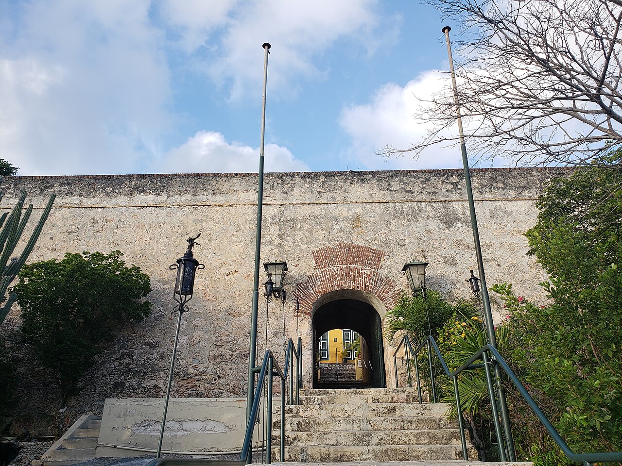
Fort Nassau (officially: Fort Oranje Nassau) is a fort situated in Willemstad, Curaçao. It is located on a 68 metres (223 ft) high hill overlooking the city of Willemstad and its harbour. It was constructed in 1796 as Fort Republiek. In 1807, Curaçao was captured by the British, and the fort was renamed Fort George. In 1816, Curaçao was returned to Netherlands, and the fort received its current name. It lost its military function, but was used as a control tower for the Queen Emma Bridge. Since 1959, it is in use as a restaurant.
Text adapted from “Fort Nassau (Curaçao)” on Wikipedia, CC BY-SA 4.0.
Fort Nassau (Curaçao) ranks #3,084 of 9,035 worldwide in the atlas's castle fame ranking, and #2 of the 6 mapped in Curaçao. Founded 1796, it is older than 12% of the atlas's dated landmarks, one of 685 atlas entries founded in the 18th century. Its Wikipedia articles were opened 1,720 times in the last 60 days, more than 65% of the atlas. 5 more atlas landmarks stand within 25 km. The nearest day-trip guide is Willemstad, 1 km away. See how Curaçao compares in the castle statistics.
View on the interactive castle map →