 United States · 18th century
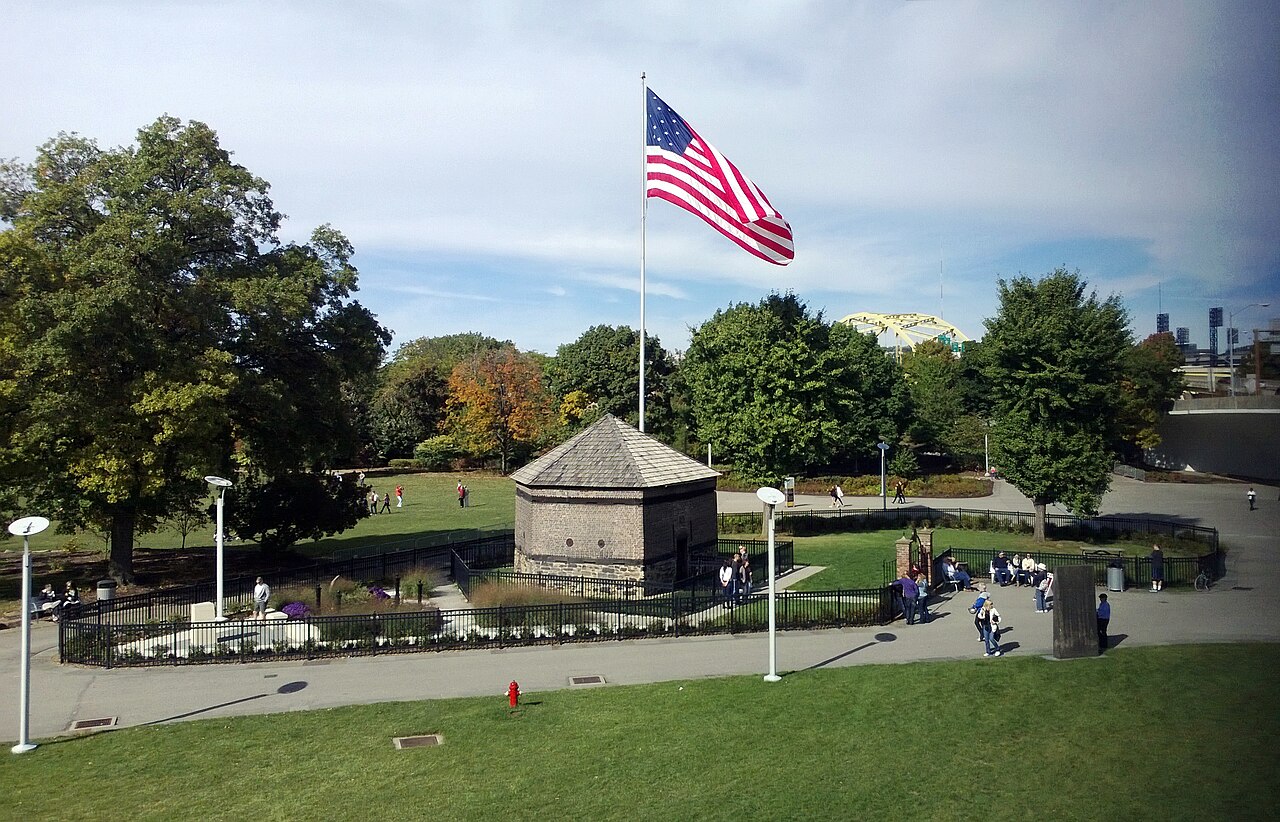
Fort Pitt ranks #2,012 of 9,040 worldwide in the atlas's castle fame ranking, and #36 of the 110 mapped in United States. Founded 1759, it is older than 15% of the atlas's dated landmarks, one of 685 atlas entries founded in the 18th century. Its Wikipedia articles were opened 7,800 times in the last 60 days, more than 91% of the atlas. 2 more atlas landmarks stand within 25 km. See how United States compares in the castle statistics.
Fort Pitt was a fort built by British forces between 1759 and 1761 during the French and Indian War at the confluence of the Monongahela and Allegheny rivers, where the Ohio River is formed in western Pennsylvania (modern day Pittsburgh). It was near (but not directly on) the site of Fort Duquesne, a French colonial fort built in 1754 as tensions increased between Great Britain and France in both Europe and North America. The French destroyed Fort Duquesne in 1758 when they retreated under British attack.
Virginia colonial protection of this area ultimately led to the development of Pittsburgh and Allegheny County, Pennsylvania by British-American colonists and immigrants.
Text adapted from “Fort Pitt (Pennsylvania)” on Wikipedia, CC BY-SA 4.0.
View on the interactive castle map →