Ruin
Fort Ricasoli
 Malta · 17th century
- Founded
- 1670
- Location
- Kalkara
- Coordinates
- 35.8975°, 14.52583°
- Open data
- Wikidata Q1431801
- Links
- Wikimedia Commons

Description
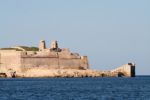
Fort Ricasoli (Maltese: Forti Rikażli) is a bastioned fort in Kalkara, Malta, which was built by the Order of Saint John between 1670 and 1698. The fort occupies a promontory known as Gallows' Point and the north shore of Rinella Bay, commanding the entrance to the Grand Harbour along with Fort Saint Elmo. It is the largest fort in Malta and has been on the tentative list of UNESCO World Heritage Sites since 1998, as part of the Knights' Fortifications around the Harbours of Malta.
Fort Ricasoli saw use during the French invasion of Malta in 1798 and the subsequent Maltese insurrection, after which it ended up in British hands. Ricasoli was the site of the Froberg mutiny in 1807, and was also used as a military hospital during the 19th century. It saw use once again in World War II, when parts of it were destroyed by aerial bombardment. After it was decommissioned in the 1960s, the fort was used for industrial purposes. Today, the fort remains mostly intact but in a dilapidated state, and it is used as a filming location and a tank cleaning facility. Plans to restore the fort were approved in June 2019.
Text adapted from “Fort Ricasoli” on Wikipedia, CC BY-SA 4.0.
In the rankings
Fort Ricasoli ranks #1,025 of 9,902 worldwide in the atlas's castle fame ranking, and #6 of the 41 mapped in Malta. Founded 1670, it is older than 24% of the atlas's dated landmarks, one of 755 atlas entries founded in the 17th century. Its Wikipedia articles were opened 3,577 times in the last 60 days, more than 84% of the atlas. 37 more atlas landmarks stand within 25 km. See how Malta compares in the castle statistics.
Castles nearby
- Rinella Battery1 km · Malta
- Fort Saint Elmo1 km · Malta
- Fort St Angelo1 km · Malta
- Grandmaster's Palace1 km · Malta
More castles in Malta
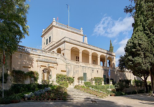
- San Anton PalaceMalta · 17th century
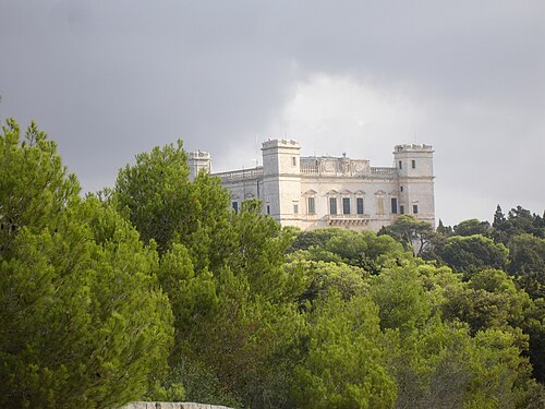
- Verdala PalaceMalta · 16th century
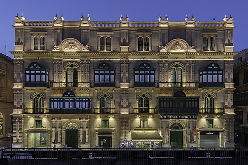
- Palazzo FerreriaMalta · 19th century
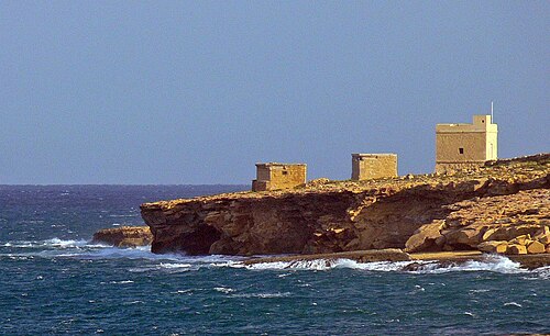
- Triq il-Wiesgħa TowerMalta · 17th century