 India · 16th century
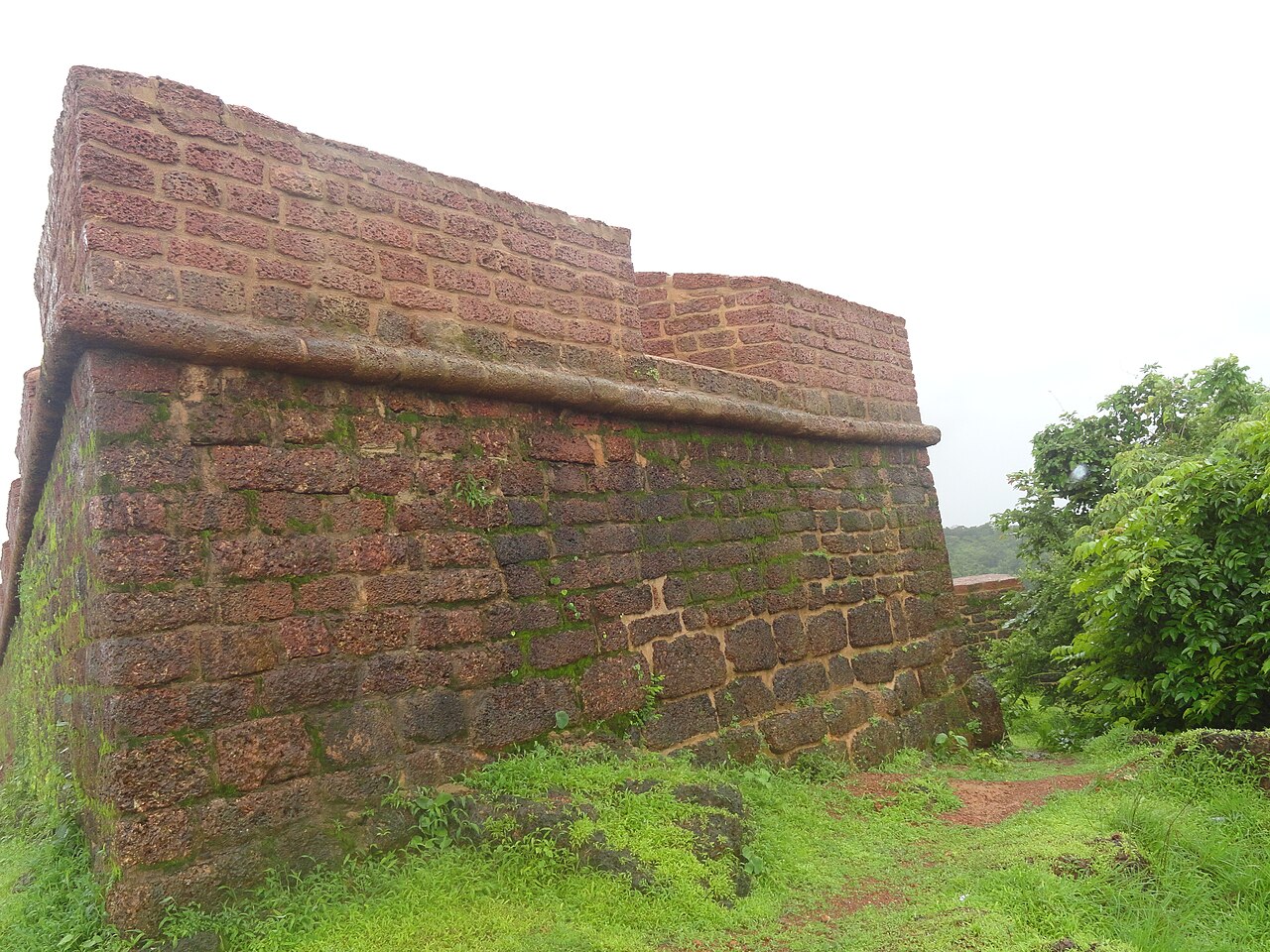
Fort Santo Estevão ranks #8,890 of 9,040 worldwide in the atlas's castle fame ranking, and #219 of the 223 mapped in India. Founded 1550, it is older than 36% of the atlas's dated landmarks, one of 887 atlas entries founded in the 16th century. 6 more atlas landmarks stand within 25 km. See how India compares in the castle statistics.
Fort Santo Estevão (Fortaleza de Santo Estevão in Portuguese) is a military structure erected in Santo Estevão Island, in Goa, by the Portuguese.
Built on the highest point of Santo Estevão Island, it was originally built as a watchtower to guard the Mandovi River, in 1550. It was the easternmost defensive structure in the Velhas Conquistas. After the first Maratha incursions against Goa, in 1666-1668, The structure was expanded into a small fort. In 1683, the Marathas attacked Goa and managed to breach into the island of Santo Estevão because the corps of auxiliaries tasked with defending it fled from their enemy. The Marathas captured the fort and massacred its garrison.
After the annexation of the Novas Conquistas, the fort lost its military purpose. It was abandoned in 1811 by decree of the Viceroy of India Dom Bernardo José Maria da Silveira e Lorena. Restoration works were undertaken on the fort in 2012.
Text adapted from “Fort Santo Estevão” on Wikipedia, CC BY-SA 4.0.
View on the interactive castle map →