 India · 18th century
Fort St. Anthony of Simbor ranks #7,601 of 9,040 worldwide in the atlas's castle fame ranking, and #212 of the 223 mapped in India. Founded 1722, it is older than 19% of the atlas's dated landmarks, one of 685 atlas entries founded in the 18th century. 1 more atlas landmarks stand within 25 km. See how India compares in the castle statistics.
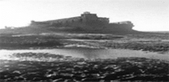
Fort St. Anthony of Simbor (Portuguese: Forte de Santo António de Simbor, Forte Simbor, Fortim-do-Mar (Fort of the Sea), Forte Pani Cola is a small ruined fort located on an islet at the mouth of Sahil River (called Vançoso by the Portuguese) in the bay of Simbor, about 25 km east of Diu in India. The fort was built in 1722 to suppress the predatory activities of pirates along the coast.
The island fort, along with two small plots of land on either side of the Vançoso River, was part of Simbor, a tiny Portuguese exclave of about 1 square km which was subordinate to the government of Diu. Along with Diu and the rest of Portuguese India, it was invaded and absorbed by India in December 1961.
Fort St. Anthony of Simbor is often confused with another fort with a similar name called Fortim do Mar, Diu.
The ruined fort has been earmarked for restoration by the authorities of Daman and Diu.
Text adapted from “Fort St. Anthony of Simbor” on Wikipedia, CC BY-SA 4.0.
View on the interactive castle map →