Fortress
Fort Wilhelm (Hüttenguth)
🇵🇱 Poland
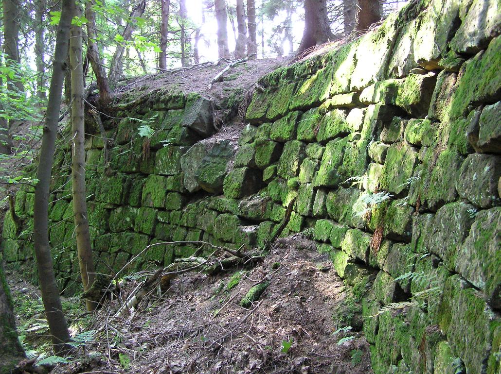
Fort Wilhelm is a former Prussian fortification near Hüttenguth in the then district of Habelschwerdt in the County of Glatz (since 1945 Huta, Powiat Kłodzki, Lower Silesian Voivodeship). It lies south of Huta and above Wójtowice (German Voigtsdorf) in the Bystrzyckie Mountains.
Machine-translated from “Fort Wilhelm (Hüttenguth)” on the German Wikipedia, CC BY-SA 4.0.
Fort Wilhelm (Hüttenguth) ranks #7,599 of 8,134 worldwide in the atlas's castle fame ranking, and #350 of the 374 mapped in Poland. 9 more atlas landmarks stand within 25 km. The nearest day-trip guide is Wałbrzych, 52 km away. It is one of the 72 landmarks on the atlas's regional map of Lower Silesia. See how Poland compares in the castle statistics.
View on the interactive castle map →Frequently asked questions
Where is Fort Wilhelm (Hüttenguth)?
Fort Wilhelm (Hüttenguth) stands in Poland, at 50.32451°, 16.54302°.
How famous is Fort Wilhelm (Hüttenguth)?
In this atlas's fame ranking: #7,599 of 8,134 worldwide, and #350 in Poland. Fame here combines how many Wikipedia language editions cover a landmark with how many people read them.
What is the nearest castle to Fort Wilhelm (Hüttenguth)?
Gorzanów Castle, about 7 km away.
More castles in Poland
- Fort VIIA Poland
- Fort IV Poland
- Fort IX Poland
- Fort M Mokotów Poland
More fortresses
- Fort Wilkins United States · 20th century
- Falkenberg Sweden · 13th century
- Muttrah Fort Oman
- Sohar Fort Oman