Fortress
Forte de Santa Maria da Arrábida
 Portugal · 17th century
- Founded
- c. 1650
- Heritage status
- Included in protected site
- Location
- Azeitão (São Lourenço e São Simão)
- Coordinates
- 38.4738°, -8.9829°
- Open data
- Wikidata Q10283909
- Links
- OpenStreetMap · Wikimedia Commons
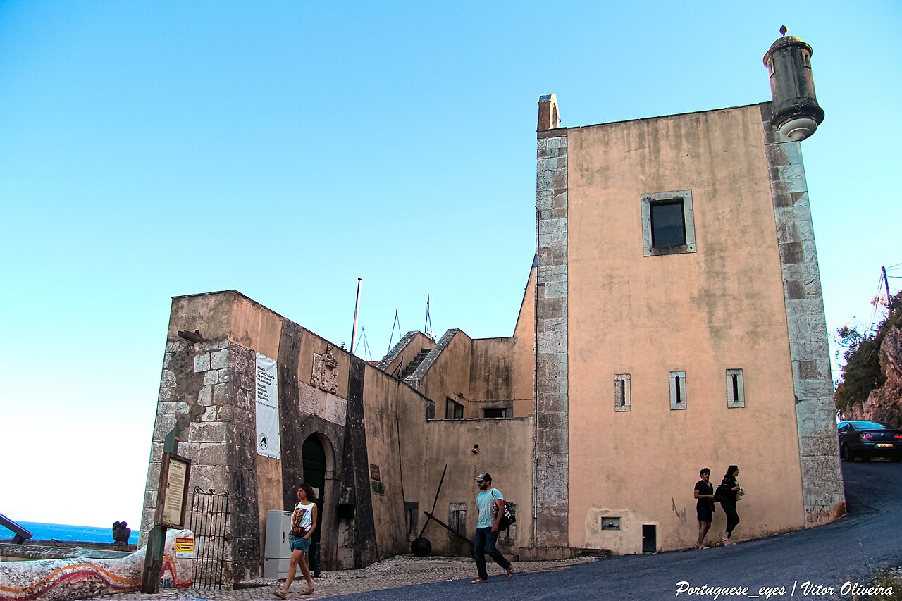
Description
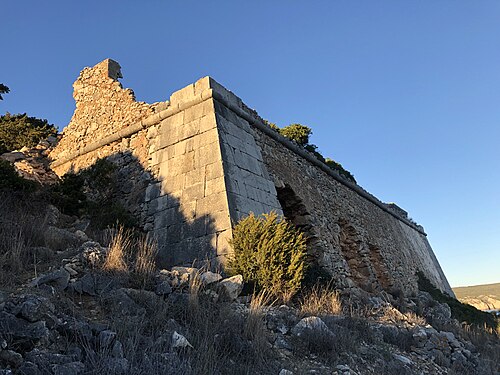
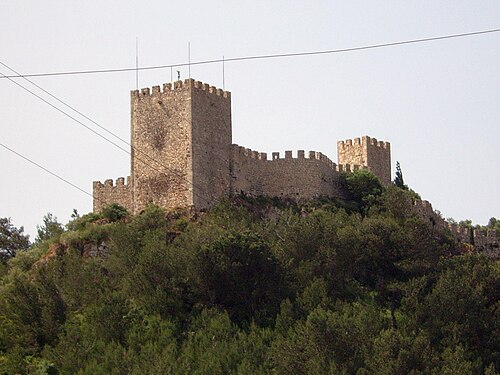
The Fort Santa Maria da Arrábida (Forte de Santa Maria da Arrábida in Portuguese) also referred to as Fort Nossa Senhora da Arrábida (Forte de Nossa Senhora da Arrábida in Portuguese), Fort of Arrábida (Forte da Arrábida in Portuguese) and Fort of Portinho da Arrábida, is located at the foot of the southern slope of the mountain range of the same name, in a dominant position to southwest of Portinho da Arrábida, on the northern bank of the Sado River, in the Municipality and District of Setúbal, in Portugal.
It complements the set of 18th century fortifications built during the Portuguese Restoration War, along the coast from Setúbal to the Fort São Domingos da Baralha, near Cape Espichel. It currently contains the Luís de Saldanha Oceanographic Museum.
Text adapted from “Fort Santa Maria da Arrábida” on Wikipedia, CC BY-SA 4.0.
In the rankings
Forte de Santa Maria da Arrábida ranks #9,046 of 9,902 worldwide in the atlas's castle fame ranking, and #192 of the 213 mapped in Portugal. Founded c. 1650, it is older than 26% of the atlas's dated landmarks, one of 755 atlas entries founded in the 17th century. 7 more atlas landmarks stand within 25 km. The nearest day-trip guide is Lisbon, 29 km away. See how Portugal compares in the castle statistics.
Castles nearby
- Fort of Santiago do Outão4 km · Portugal
- Castelo de São Filipe8 km · Portugal
- Fortress of Saint James of Sesimbra11 km · Portugal
- Castelo de Sesimbra11 km · Portugal
More castles in Portugal
- São Domingos da Baralha FortressPortugal · 17th century
- Forte de São Francisco de ChavesPortugal
- Forte de São NeutelPortugal · 17th century
- Castle of RedondosPortugal · 11th century