 Cape Verde · 18th century
Forte de São José ranks #7,104 of 9,040 worldwide in the atlas's castle fame ranking, and #3 of the 3 mapped in Cape Verde. Founded c. 1743, it is older than 18% of the atlas's dated landmarks, one of 685 atlas entries founded in the 18th century. See how Cape Verde compares in the castle statistics.
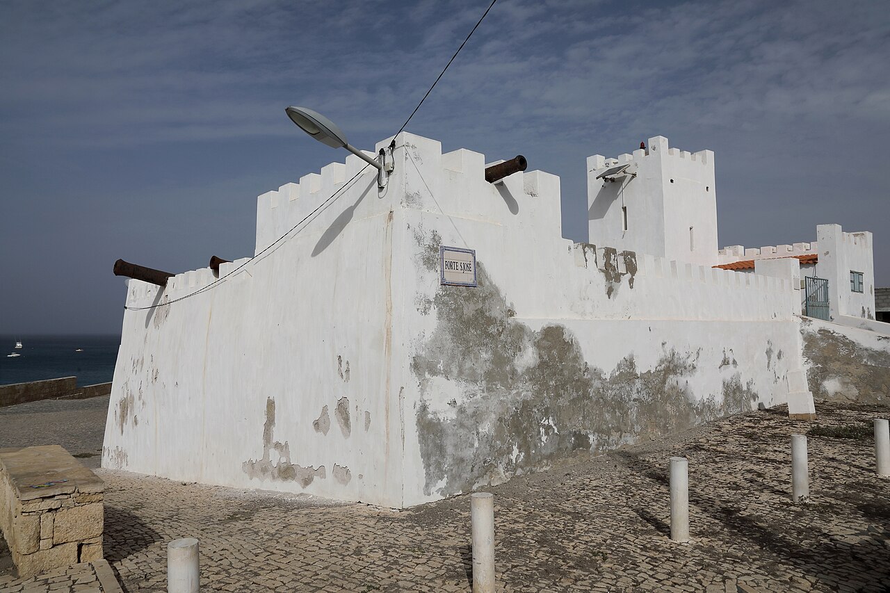
Forte de São José (Portuguese for the Fort of Saint Joseph) is a fort located in the city of Porto Inglês in the southern part of Maio Island, Cape Verde. It was built by the Portuguese around 1743, in order to protect the town of Porto Inglês from pirate attacks. Today, the fort is one of the tourist attractions of the town.
A lighthouse was built in the fort in 1887. It is a stone tower painted white. The light is solar powered. It is 18 meters tall, sits at 4 meters above sea level and its focal height is 22 meters, its range is 17 km (9 nautical miles). Its characteristic is Fl (3) R 12s.
Text adapted from “Forte de São José (Maio)” on Wikipedia, CC BY-SA 4.0.
View on the interactive castle map →