Fortress
Fortifications of Kotor
 Montenegro
- Heritage status
- part of UNESCO World Heritage Site
- Location
- Kotor
- Coordinates
- 42.42489°, 18.77104°
- Open data
- Wikidata Q12907852
- Links
- UNESCO · Wikimedia Commons
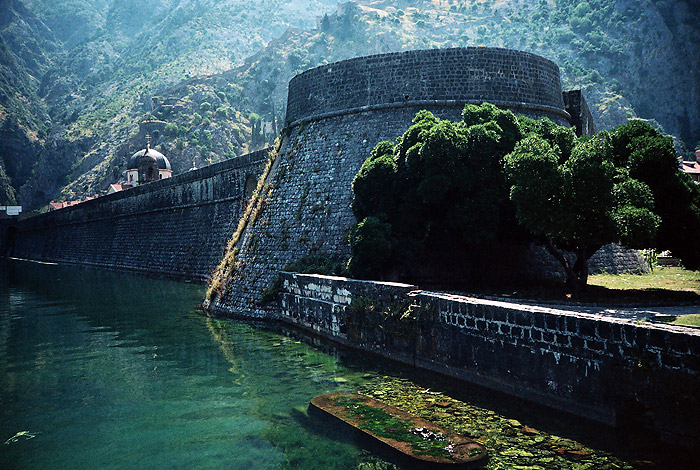
Description
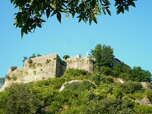
The fortifications of Kotor (Italian: Cattaro) are an integrated historical fortification system that protected the medieval town of Kotor containing ramparts, towers, citadels, gates, bastions, forts, cisterns, a castle, and ancillary buildings and structures. They incorporate military architecture of Illyria, the Byzantine Empire, Venice, and Austria. Together with the old town and its natural surroundings the fortifications were inscribed in the list of World Heritage Sites in 1979 labelled Natural and Culturo-Historical Region of Kotor and represent the only such site of cultural significance in Montenegro.
The fortified city of Kotor was also included in UNESCO's World Heritage Site list as part of Venetian Works of Defence between 15th and 17th centuries: Stato da Terra – western Stato da Mar in 2017.
Text adapted from “Fortifications of Kotor” on Wikipedia, CC BY-SA 4.0.
In the rankings
Fortifications of Kotor ranks #590 of 9,902 worldwide in the atlas's castle fame ranking, and #1 of the 13 mapped in Montenegro. Its Wikipedia articles were opened 8,887 times in the last 60 days, more than 94% of the atlas. 5 more atlas landmarks stand within 25 km. The nearest day-trip guide is Podgorica, 40 km away. See how Montenegro compares in the castle statistics.
Castles nearby
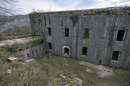
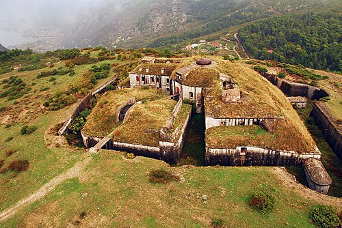
- Vrmac Fortress2 km · Montenegro
- Fort Gorazda3 km · Montenegro
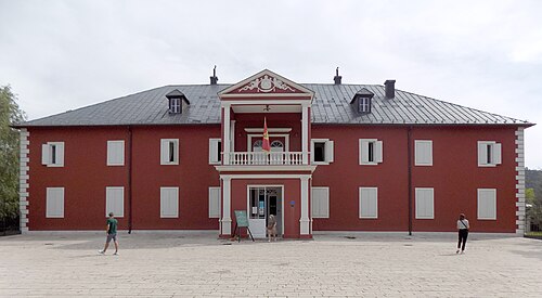
- King Nikola's Palace (Cetinje)13 km · Montenegro
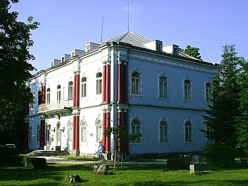
- Blue Palace13 km · Montenegro
More castles in Montenegro
- Žabljak CrnojevićaMontenegro · 10th century
- DepedogenMontenegro · 15th century
- Ulcinj CastleMontenegro
- King Nikola's Palace (Bar)Montenegro · 19th century