Fortress
Fortress of Charlemont
 France · 16th century
- Founded
- 1555
- Heritage status
- monument historique inscrit
- Location
- Givet
- Coordinates
- 50.13483°, 4.81183°
- Open data
- Wikidata Q3078162
- Links
- OpenStreetMap · Wikimedia Commons
Description
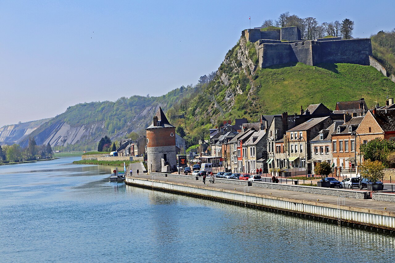
The Fortress of Charlemont (French: Fort de Charlemont) is a French stronghold located near the Belgian border on the Meuse. It is a citadel, surrounded by a network of outworks, including the connecting forts (Givet and the Mont d'Hours). It dominates the town of Givet and when in use as a working fortress controlled the valley of the Meuse.
Text adapted from “Fortress of Charlemont” on Wikipedia, CC BY-SA 4.0.
In the rankings
Fortress of Charlemont ranks #3,450 of 9,902 worldwide in the atlas's castle fame ranking, and #246 of the 954 mapped in France. Founded 1555, it is older than 37% of the atlas's dated landmarks, one of 933 atlas entries founded in the 16th century. Its Wikipedia articles were opened 1,165 times in the last 60 days, more than 60% of the atlas. 8 more atlas landmarks stand within 25 km. The nearest day-trip guide is Namur, 37 km away. See how France compares in the castle statistics.
Castles nearby
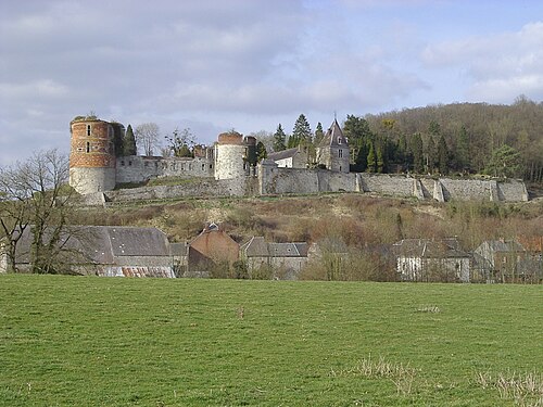
- Château de Hierges6 km · France
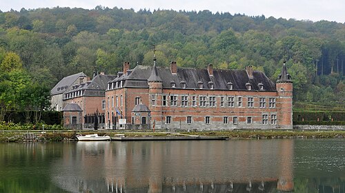
- Castle of Freÿr
 12 km · Belgium
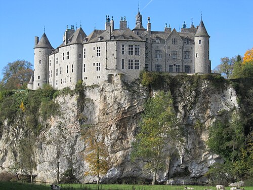
- Walzin Castle12 km · Belgium
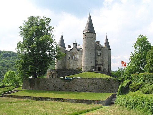
- Castle of Vêves15 km · Belgium
More castles in France
- Fort de BertheaumeFrance · 18th century
- Château du LandsbergFrance · 12th century
- Château de LavardinFrance · 11th century
- Château de Villerouge-TermenèsFrance · 11th century