 France · 18th century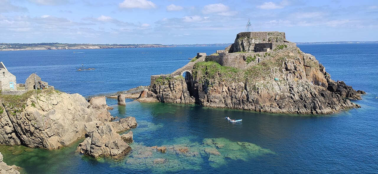
Fort de Bertheaume is a fort in Plougonvelin, in the Department of Finistère, France, in the cultural region of Brittany. It is located on a tidal island that nowadays connects to the mainland via a footbridge. The fort sits well above sea level, and its steep cliffs have rendered it easily defended for centuries. Since the 17th century, the fort's role has been to monitor the Goulet de Brest, the straits of Brest.
Text adapted from “Fort de Bertheaume” on Wikipedia, CC BY-SA 4.0.
Fort de Bertheaume ranks #4,026 of 9,035 worldwide in the atlas's castle fame ranking, and #318 of the 787 mapped in France. Founded c. 1750, it is older than 16% of the atlas's dated landmarks, one of 685 atlas entries founded in the 18th century. Its Wikipedia articles were opened 1,135 times in the last 60 days, more than 54% of the atlas. 6 more atlas landmarks stand within 25 km. The nearest day-trip guide is Brest (France), 17 km away. See how France compares in the castle statistics.
View on the interactive castle map →