Ruin
Gleaston Castle
 England · 14th century
- Founded
- c. 1350
- Heritage status
- Grade I listed building · Heritage at Risk register
- Location
- Aldingham
- Coordinates
- 54.1336°, -3.13159°
- Open data
- Wikidata Q5567411
Description
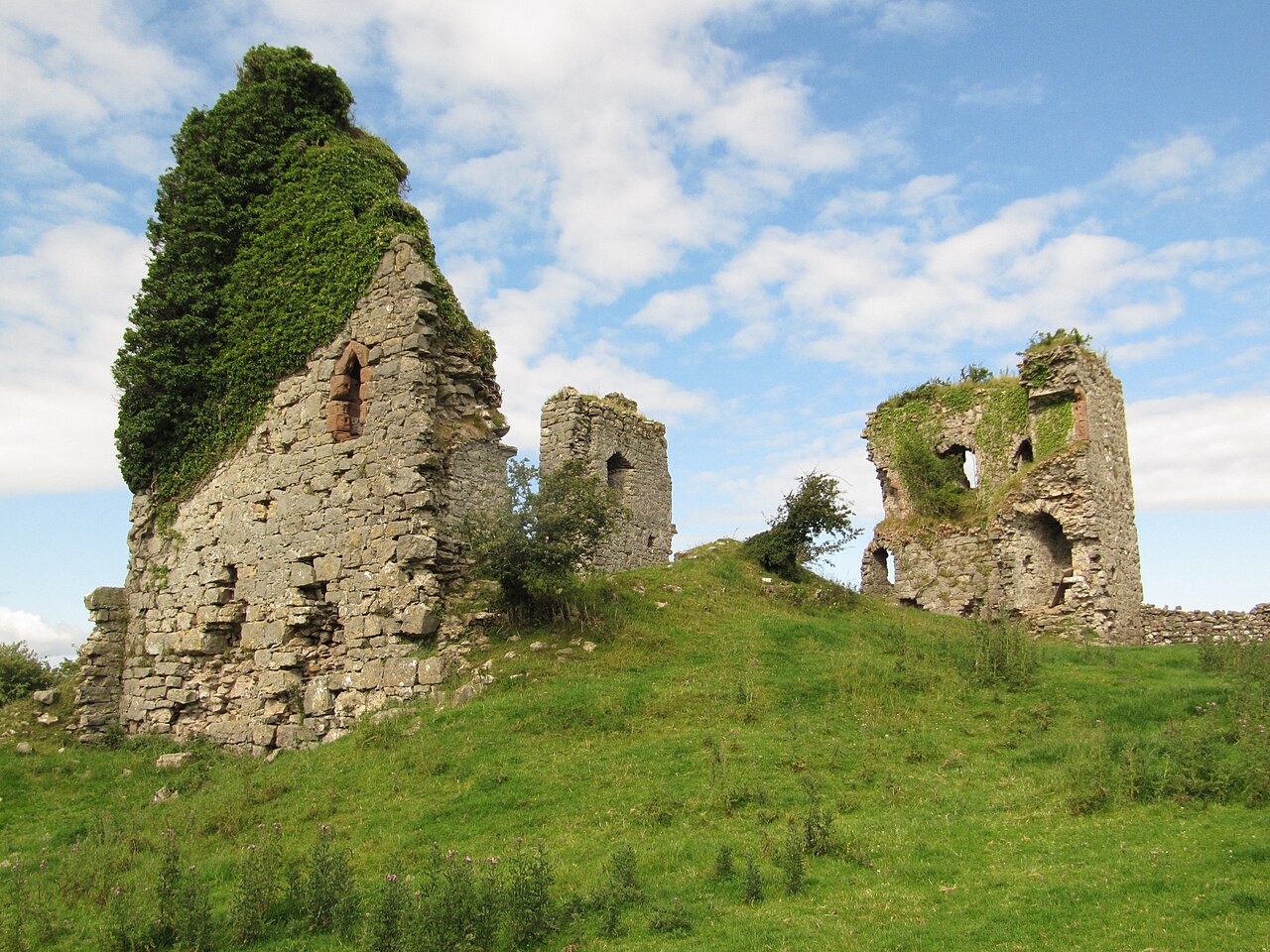
Gleaston Castle is a medieval building in a valley about 1 kilometre (0.62 mi) north-east of the village of Gleaston. The village lies between the towns of Ulverston and Barrow-in-Furness in the Furness peninsula, Cumbria, England. Gleaston Castle has a quadrilateral plan, with a tower at each corner. The largest of these, the north-west tower, probably housed a hall.
The castle was most likely built for John Harington, 1st Baron Harington in the 14th century, replacing nearby Aldingham Motte. Gleaston Castle descended through the Harrington family until 1458 when it passed to William Bonville through marriage and was subsequently abandoned. The castle passed to the Grey family until Henry Grey, 1st Duke of Suffolk was executed for treason in 1554. As a result, Gleaston Castle became royal property before it was bought by the Preston family in the 17th century, and then passed to the Cavendish family.
As the castle was disused from the mid-15th century it fell into dilapidation, and antiquarian depictions from the 18th century show Gleaston in a state of ruin. Though it is not open to the public, it has been the subject of historical and archaeological investigation in the 20th and 21st centuries.
Text adapted from “Gleaston Castle” on Wikipedia, CC BY-SA 4.0.
In the rankings
Gleaston Castle ranks #6,544 of 9,040 worldwide in the atlas's castle fame ranking, and #351 of the 360 mapped in England. Founded c. 1350, it is older than 54% of the atlas's dated landmarks, one of 758 atlas entries founded in the 14th century. 4 more atlas landmarks stand within 25 km. The nearest day-trip guide is Liverpool, 81 km away. See how England compares in the castle statistics.
Castles nearby
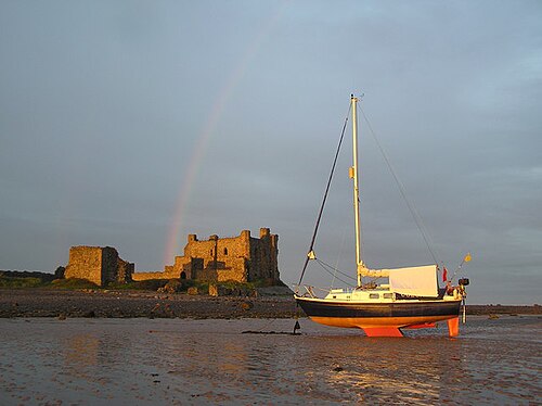
- Piel Castle8 km · England
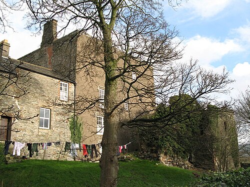
- Millom Castle13 km · England
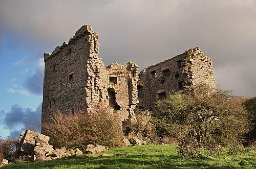
- Arnside Tower20 km · England
- Lancaster Castle23 km · England
More castles in England
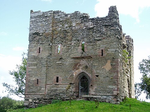
- Hopton CastleEngland
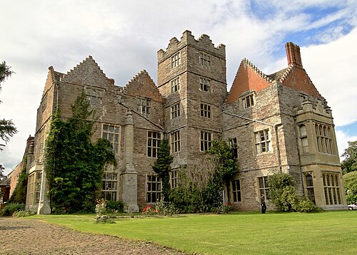
- Kinnersley CastleEngland · 12th century
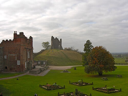
- Tutbury CastleEngland
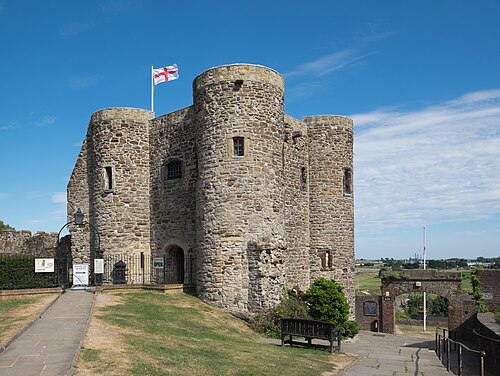
- Ypres TowerEngland · 13th century