Ruin
Hama Castle
🇸🇾 Syria
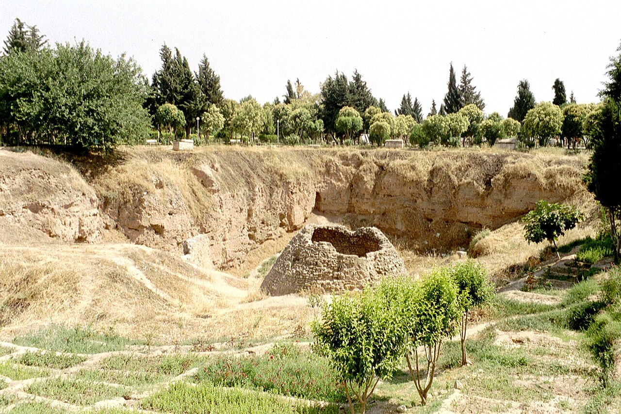
Hama Castle (Arabic: قلعة حماة) is a mostly-ruined fortress located in Hama, Syria, Located on the Orontes River.
The location is dated back to the Seleucids. Later on, it was taken by the Romans, until it was captured by Abu Ubaidah ibn al-Jarrah. It was later controlled by the Qarmatians, Mirdasids and the Seljuks.
It was devastated during the 1157 Hama earthquake. Afterwards, it was rebuilt by the Zengids and Ayyubids, before it was destroyed by the Mongols in 1258. Sultan Baibars rebuilt it again, and by the Ottoman era, it had lost its strategic value and barely anything of it was left.
It was excavated by a Danish expedition between 1931 and 1938.
Text adapted from “Hama Castle” on Wikipedia, CC BY-SA 4.0.
Hama Castle ranks #6,528 of 8,134 worldwide in the atlas's castle fame ranking, and #32 of the 38 mapped in Syria. 2 more atlas landmarks stand within 25 km. The nearest day-trip guide is Hama, 1 km away. It is one of the 113 landmarks on the atlas's regional map of the Levant. See how Syria compares in the castle statistics.
View on the interactive castle map →Frequently asked questions
Where is Hama Castle?
Hama Castle stands in Syria, at 35.1365°, 36.75°.
How famous is Hama Castle?
In this atlas's fame ranking: #6,528 of 8,134 worldwide, and #32 in Syria. Fame here combines how many Wikipedia language editions cover a landmark with how many people read them.
What is the nearest castle to Hama Castle?
Azm Palace (Hama), about 1 km away.
More castles in Syria
- Citadel of Homs Syria
- Al-Sheikh Deeb Castle Syria
- Aleika Castle Syria
- Qal'at Sukkara Syria · 12th century
More ruins
- Taganrog Fortress Russia · 17th century
- Trångsund Fortress Russia · 19th century
- Burgruine Reinegg Austria
- Murray Battery China · 19th century