 Syria · 12th century
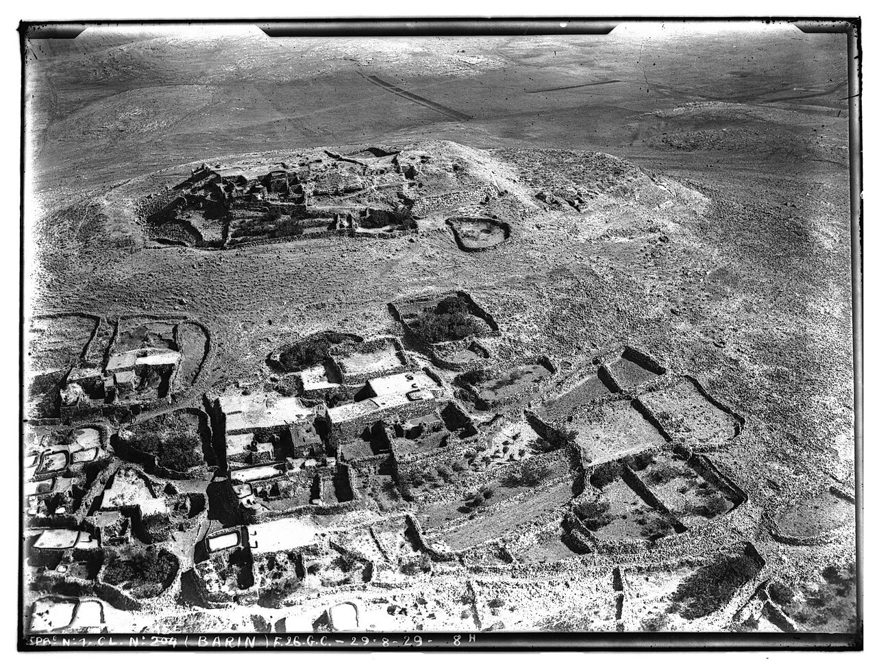
Ba'rin ranks #4,994 of 9,040 worldwide in the atlas's castle fame ranking, and #25 of the 38 mapped in Syria. Founded 1126, it is older than 84% of the atlas's dated landmarks, one of 763 atlas entries founded in the 12th century. 3 more atlas landmarks stand within 25 km. The nearest day-trip guide is Homs, 37 km away. It is one of the 105 landmarks on the atlas's regional map of the Levant. See how Syria compares in the castle statistics.
Montferrand was a fortress in the County of Tripoli (at the present-day village of Baarin in Syria), built in 1126.
The construction of Montferrand started when the united crusader troops from Jerusalem, Tripoli and Antioch laid siege to Rafaniya on 13 March 1126. Originally, it was destined to complete the blockade of Rafaniya and to secure the protection of the besiegers. Rafaniya fell to the crusaders on 31 March.
Count Raymond II of Tripoli granted his claims to Montferrand and Rafaniya to the Knights Hospitallers in 1142 to persuade them to make efforts to recapture it. In 1238/9, the Ayyubid emir of Hama, Al-Muzaffar Mahmud, decided to raze the citadel to the ground.
Text adapted from “Montferrand (crusader castle)” on Wikipedia, CC BY-SA 4.0.
View on the interactive castle map →