Castle
Hatton Castle
 Scotland · 16th century
- Founded
- c. 1550
- Heritage status
- category B listed building
- Location
- Newtyle
- Coordinates
- 56.5564°, -3.13751°
- Open data
- Wikidata Q5682149
- Links
- Wikimedia Commons
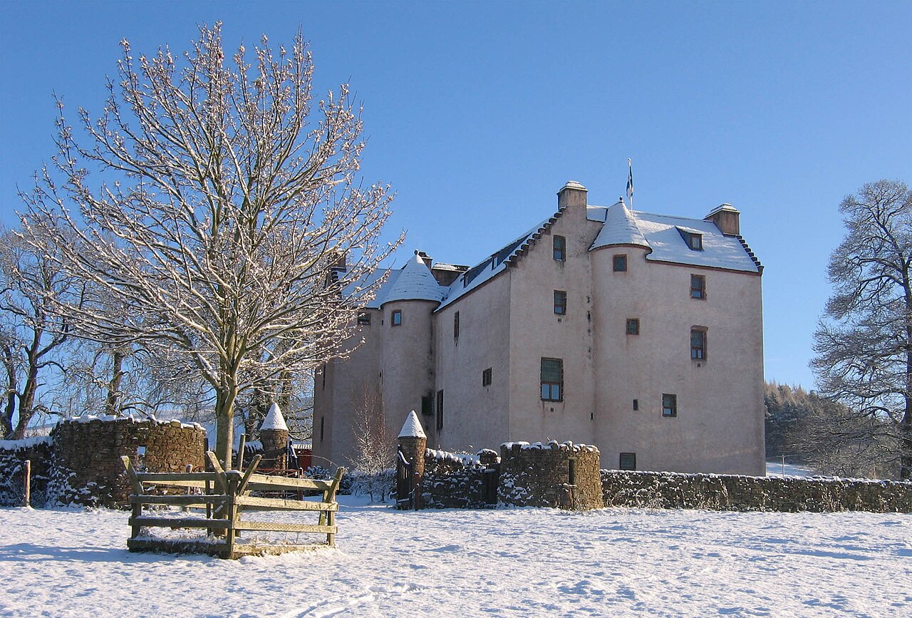
Description
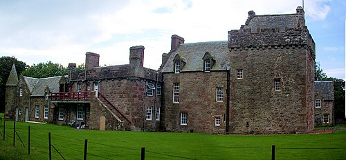
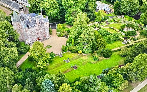
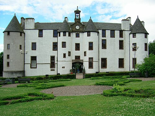
Hatton Castle stands on the lower part of Hatton Hill, the most easterly of the Sidlaw Hills, to the south of Newtyle in Angus, Scotland. The castle overlooks the wooded Den of Newtyle, and its views extend across Strathmore and include Ben Lawers and Schiehallion as well as the Angus and Glenshee hills. The 16th-century castle was originally built in a typical Scottish "Z plan" tower house design, as a fortified country house or château. There was an earlier castle called Balcraig Castle which stood less than half a mile from the present building, also on Hatton Hill. The building has been designated as a Category B listed building since 11 June 1971.
Text adapted from “Hatton Castle, Angus” on Wikipedia, CC BY-SA 4.0.
In the rankings
Hatton Castle ranks #8,409 of 9,902 worldwide in the atlas's castle fame ranking, and #247 of the 252 mapped in Scotland. Founded c. 1550, it is older than 37% of the atlas's dated landmarks, one of 933 atlas entries founded in the 16th century. 10 more atlas landmarks stand within 25 km. The nearest day-trip guide is Dundee, 15 km away. It is one of the 84 landmarks on the atlas's regional map of the Scottish Highlands. See how Scotland compares in the castle statistics.
Castles nearby
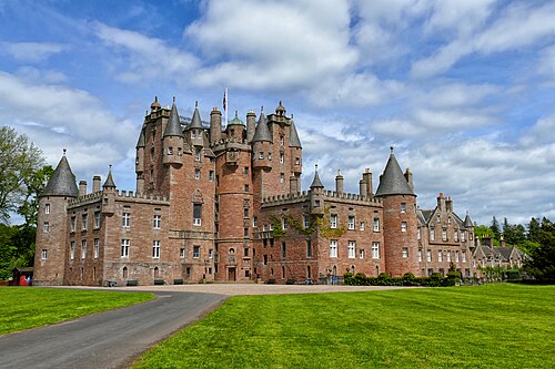
- Glamis Castle11 km · Scotland
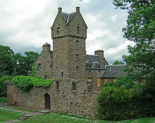
- Mains Castle14 km · Scotland
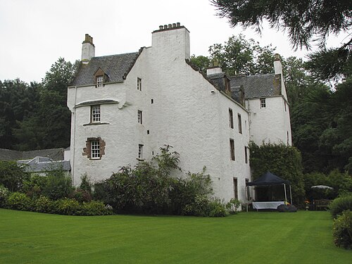
- Newton Castle14 km · Scotland
- Dudhope Castle14 km · Scotland
More castles in Scotland
- Hunterston CastleScotland · 13th century
- Inverugie CastleScotland
- Kenmure CastleScotland · 17th century
- Kilcoy CastleScotland · 16th century