Fortress
Het Steen
 Belgium · 12th century
- Founded
- 1200
- Heritage status
- beschermd monument
- Location
- Antwerp
- Coordinates
- 51.22278°, 4.3975°
- Open data
- Wikidata Q1014126
- Links
- OpenStreetMap · Wikimedia Commons

Description
Het Steen is a medieval fortress in the old city centre of Antwerp, Belgium, one of Europe's biggest ports. The surviving structure was built between 1200 and 1225 as a gateway to a larger castle of the Dukes of Brabant which was demolished in the 19th century. As the first stone fortification (city wall) of Antwerp, Het Steen is Antwerp's oldest building and used to be part of its oldest urban centre. The words "Het Steen", translated from Dutch mean "the rock" in English, although that is not the equivalent etymological meaning.
Text adapted from “Het Steen” on Wikipedia, CC BY-SA 4.0.
In the rankings
Het Steen ranks #748 of 9,902 worldwide in the atlas's castle fame ranking, and #7 of the 140 mapped in Belgium. Founded 1200, it is older than 75% of the atlas's dated landmarks, one of 810 atlas entries founded in the 12th century. Its Wikipedia articles were opened 7,271 times in the last 60 days, more than 92% of the atlas. 15 more atlas landmarks stand within 25 km. The nearest day-trip guide is Antwerp, 1 km away. See how Belgium compares in the castle statistics.
Castles nearby
- Citadel of Antwerp2 km · Belgium
- Sterckshof5 km · Belgium
- Kasteel Ten Dorpe6 km · Belgium
- Sorghvliedt Castle7 km · Belgium
More castles in Belgium
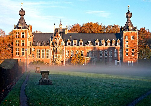
- Arenberg CastleBelgium · 16th century
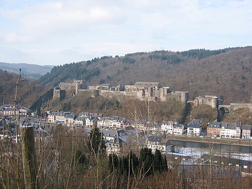
- Bouillon CastleBelgium · 10th century
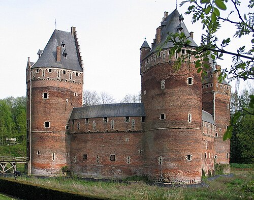
- Beersel CastleBelgium · 13th century
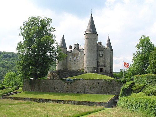
- Castle of VêvesBelgium · 7th century